travel

The Lions Binkert Trail in Vancouver

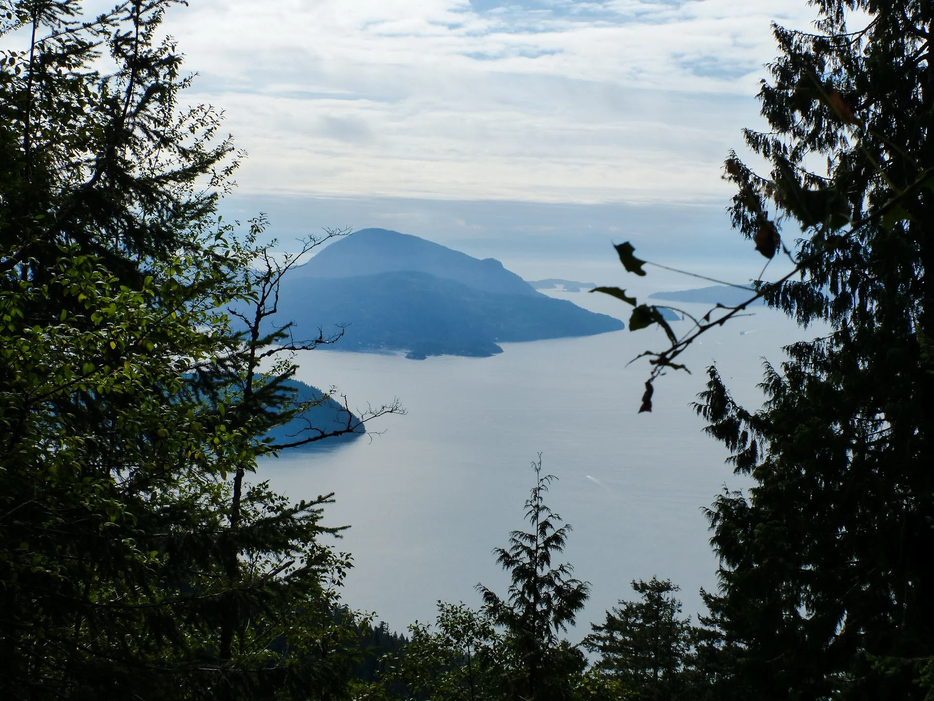
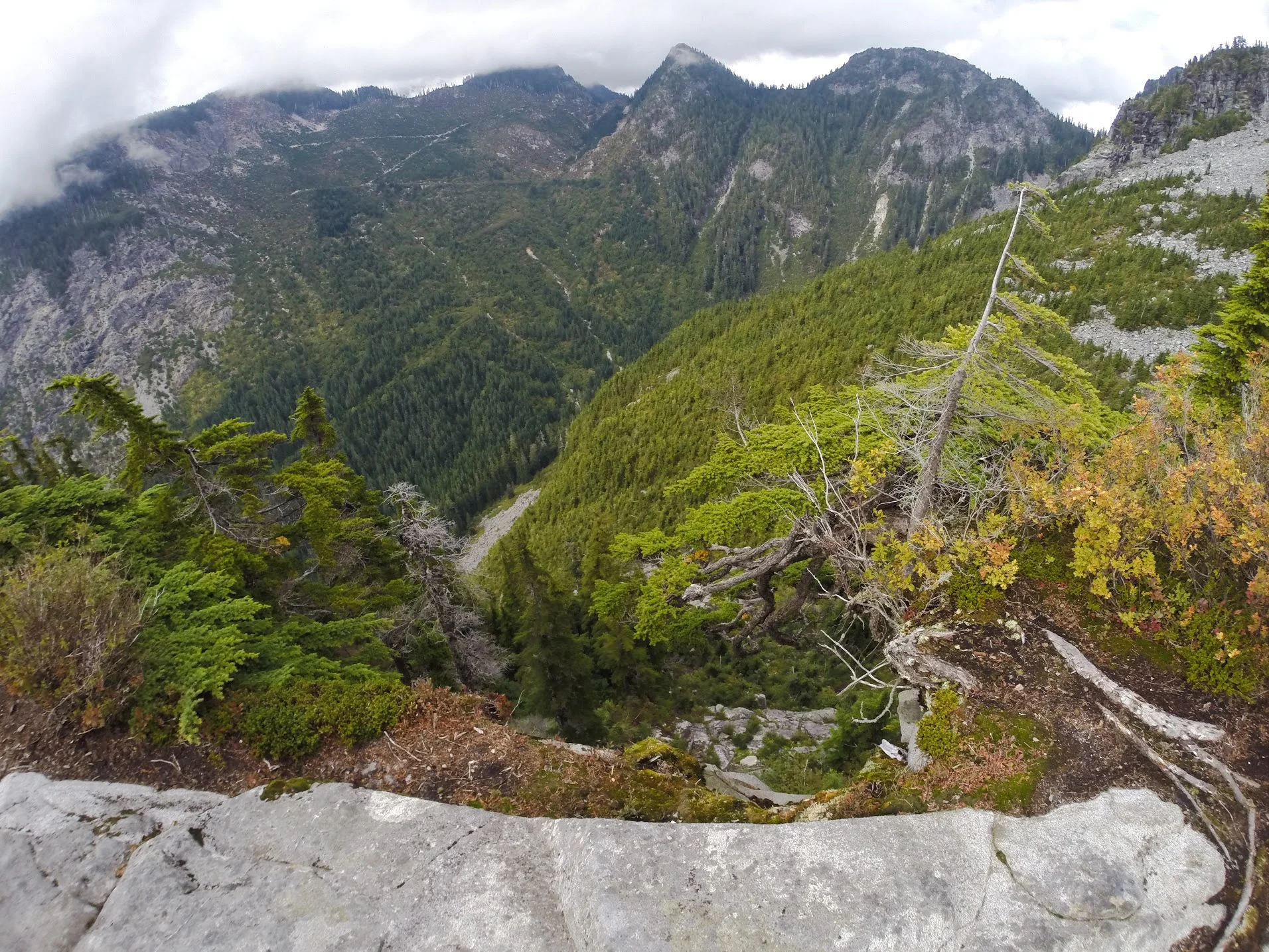
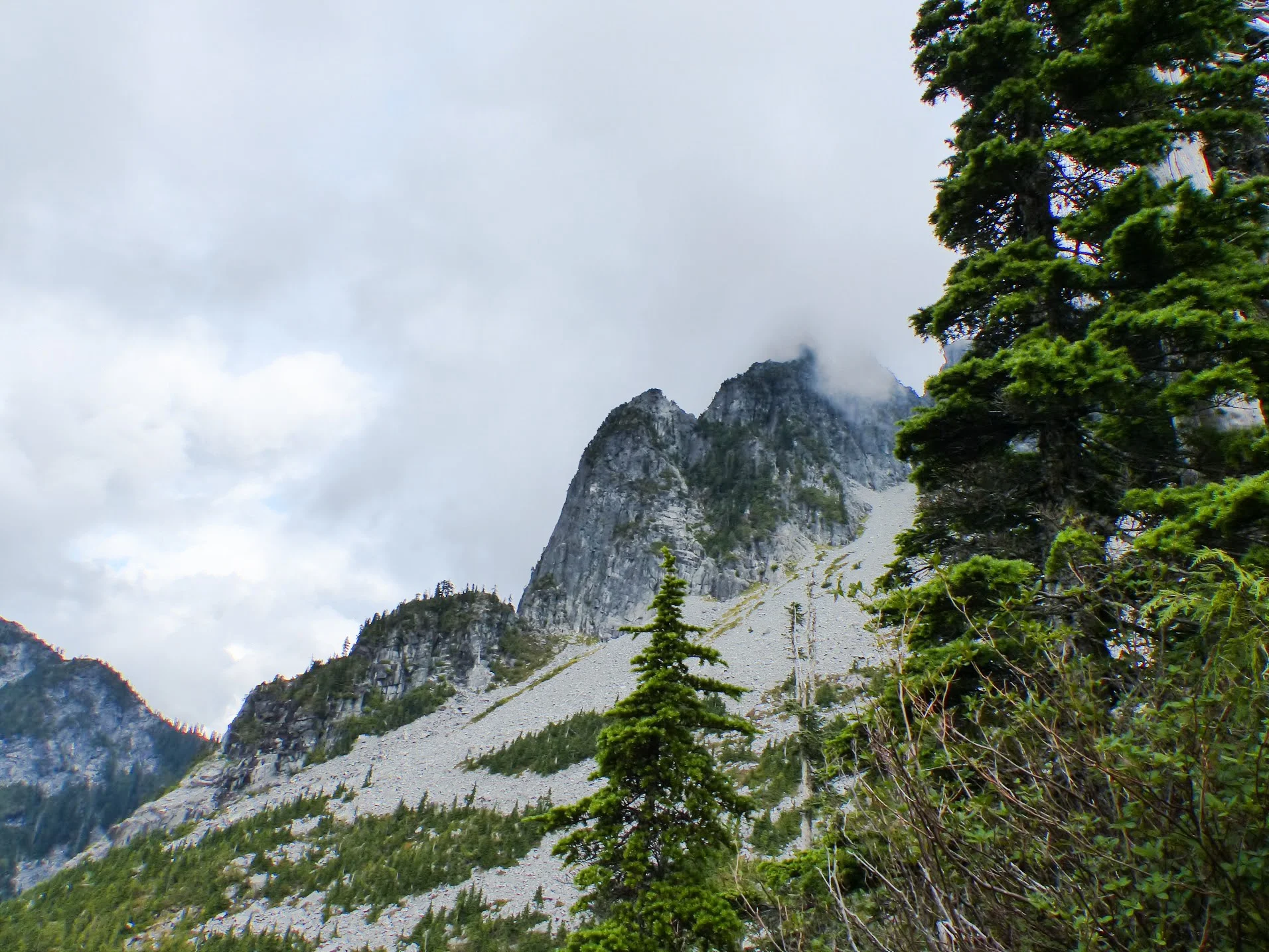
"The Lions are the two most familiar peaks seen from the city of Vancouver. The view from the Lions is truly spectacular, offering a panoramic view of Howe Sound and the Capilano Watershed down to the city of Vancouver."

We, of course, didn't see any of that when we did our hike. As always, the rain follows us on every trip we take. 

Let's get started

After making a winding drive to the start of the trail, head towards the gates to start your uphill battle. The gravel path will take you uphill for about 30 minutes. It'll be tough, but persevere because the toughest part is still coming up. The next 30 minutes will be easier as the terrain is relatively flat as you wrap around the mountainside. 

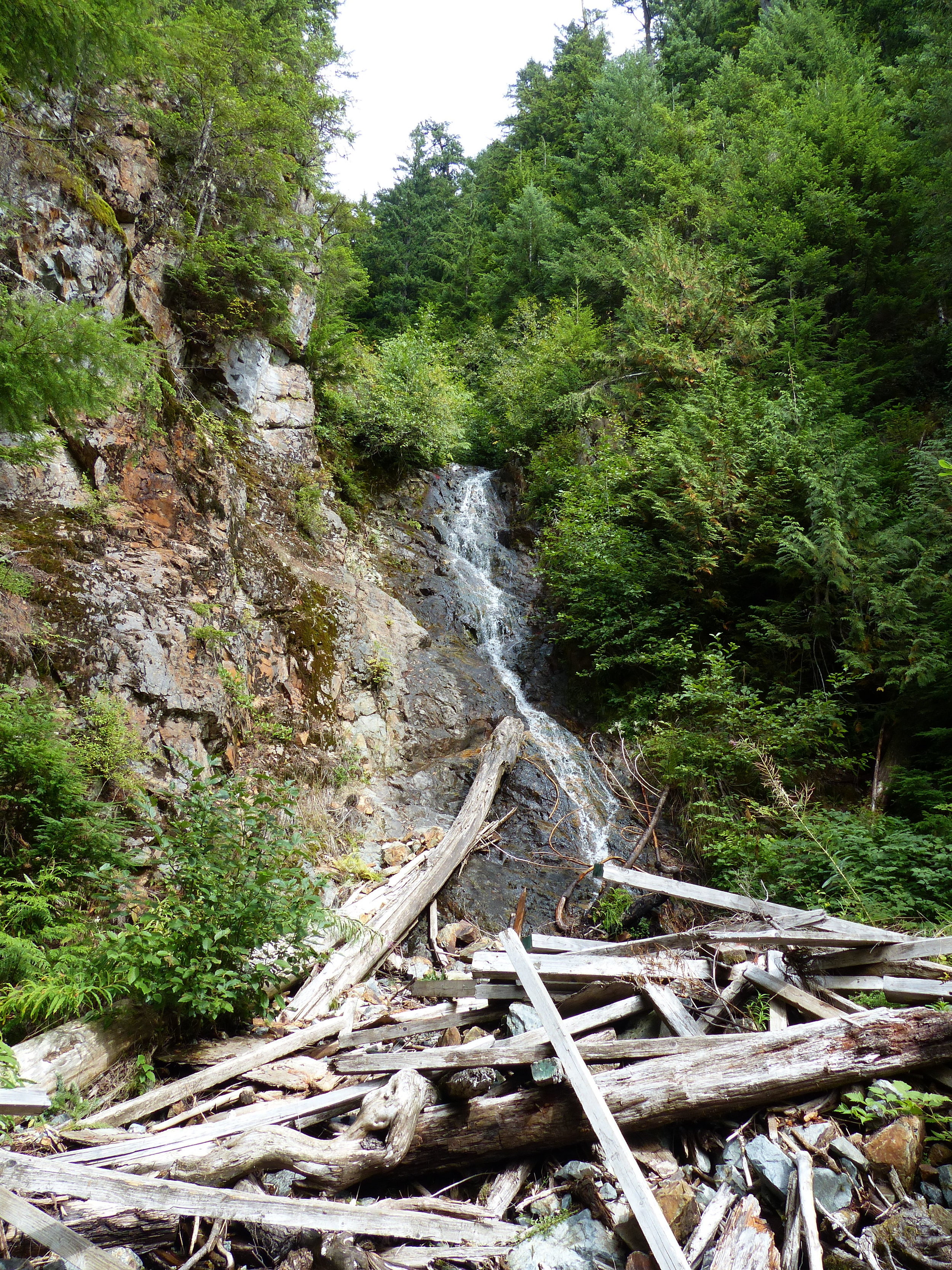
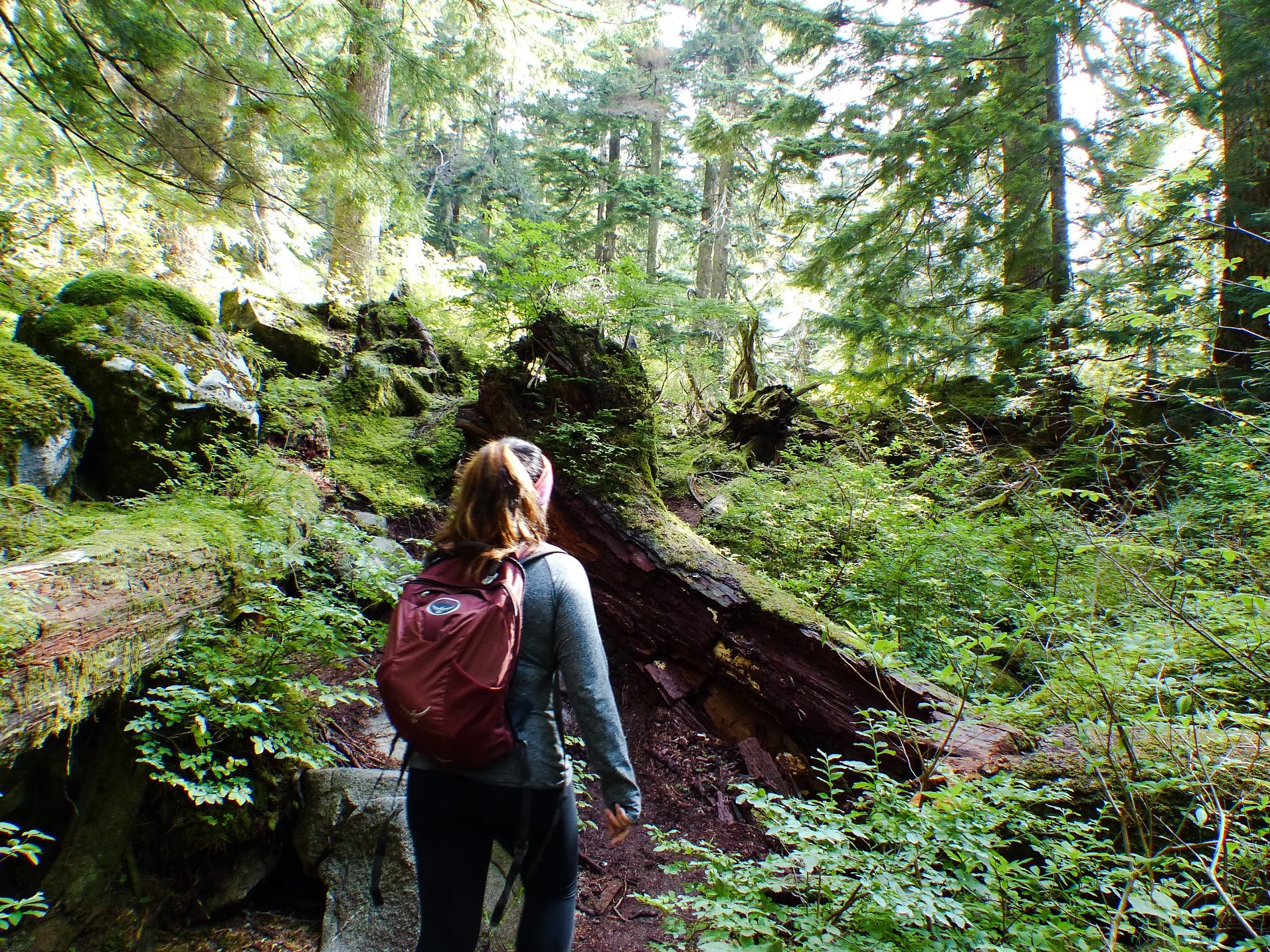
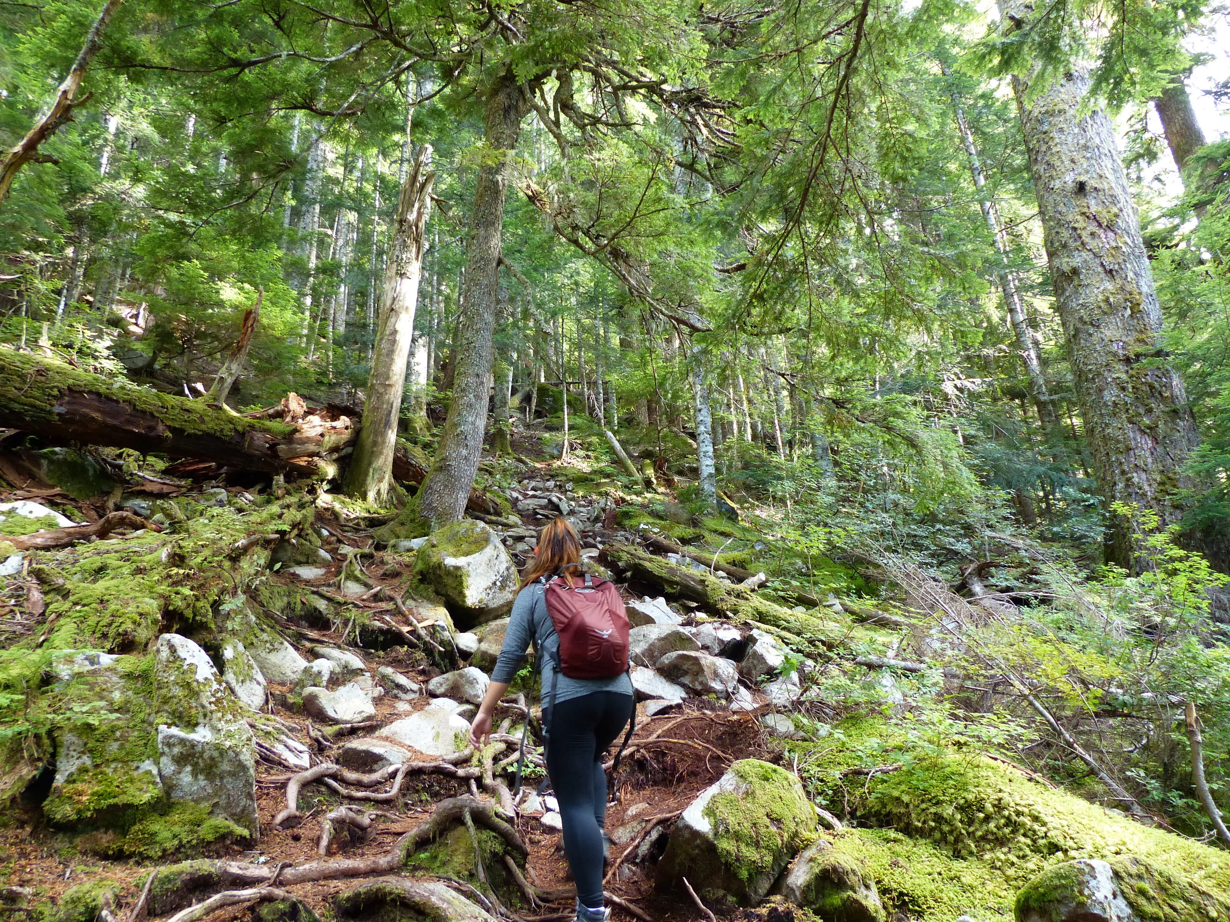
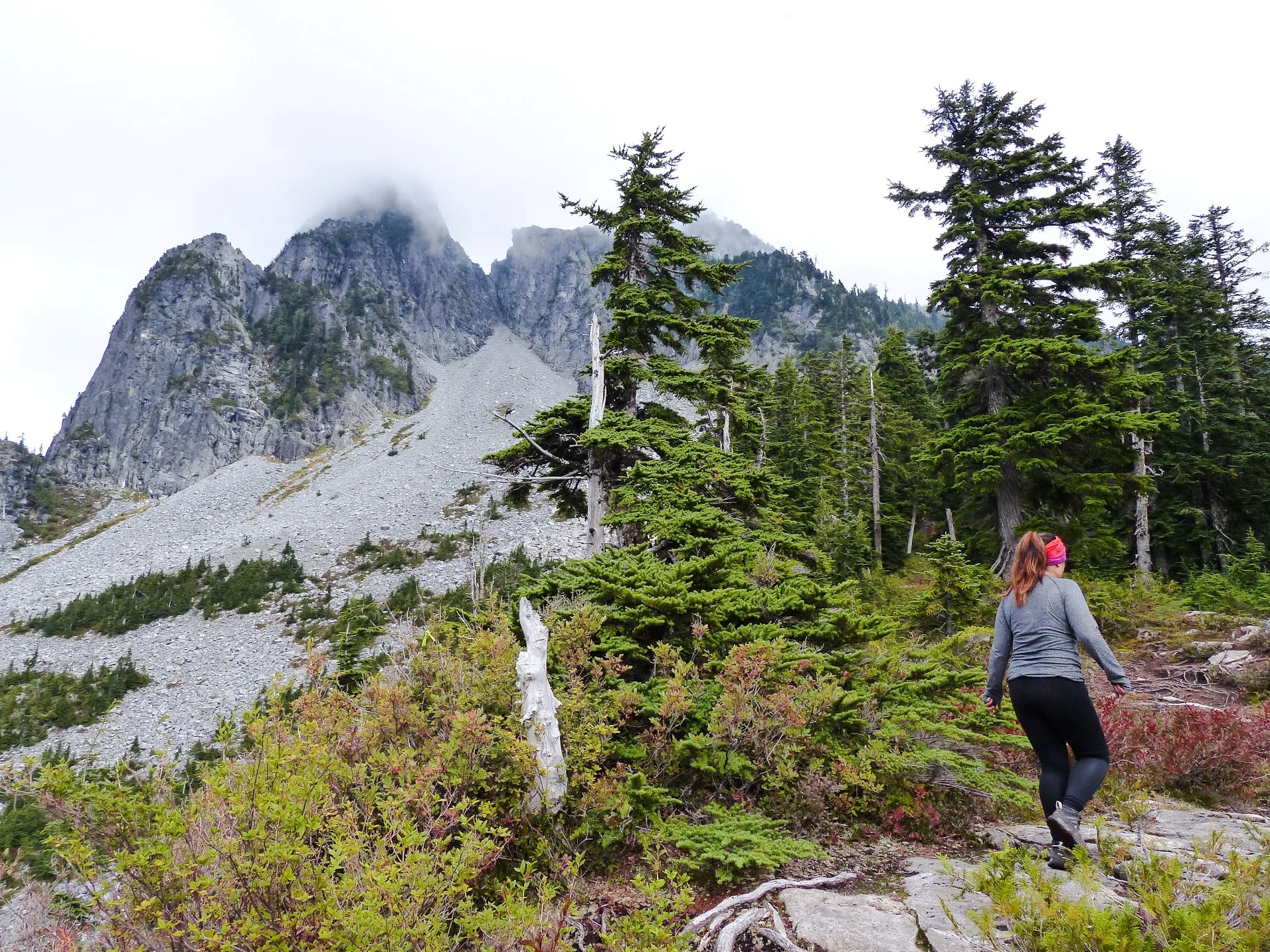
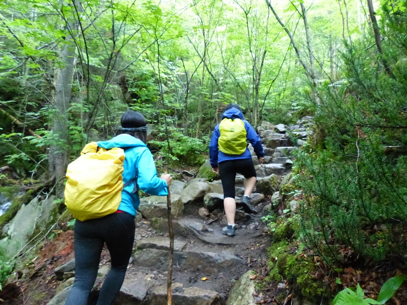
The trail will slowly become more rocky as you progress. You'll cross a short bridge with a beautiful view before reaching a forest. The next hour or so will be the hardest part of the trail as you make your way uphill over the trees and boulders while following the red tags. 

You will eventually reach the first clearing that offers a fantastic view of both Lions's peak. This is where we stopped due to timing. 

If you continue, you'll enter into the steepest part of the trail, but the reward is worth it! 

Notes:

  • This is a difficult trail. You will need between 6-8 hours to complete the hike. Just to give you an idea, we took 6.5 hours total and we only made it to the first platform. Unless you're very fit, it'll take closer to the 8 hour mark. 

  • Get there early! Parking spaces are VERY limited. There were maybe 3-5 spaces for the trail. DO NOT park illegally because you may get towed. You can park at the side of the streets or at the school. 

  • Plan ahead and pack a lunch, snacks and lot of water. 

  • If you make it to the top, it's an elevation gain of 1280 metres. 
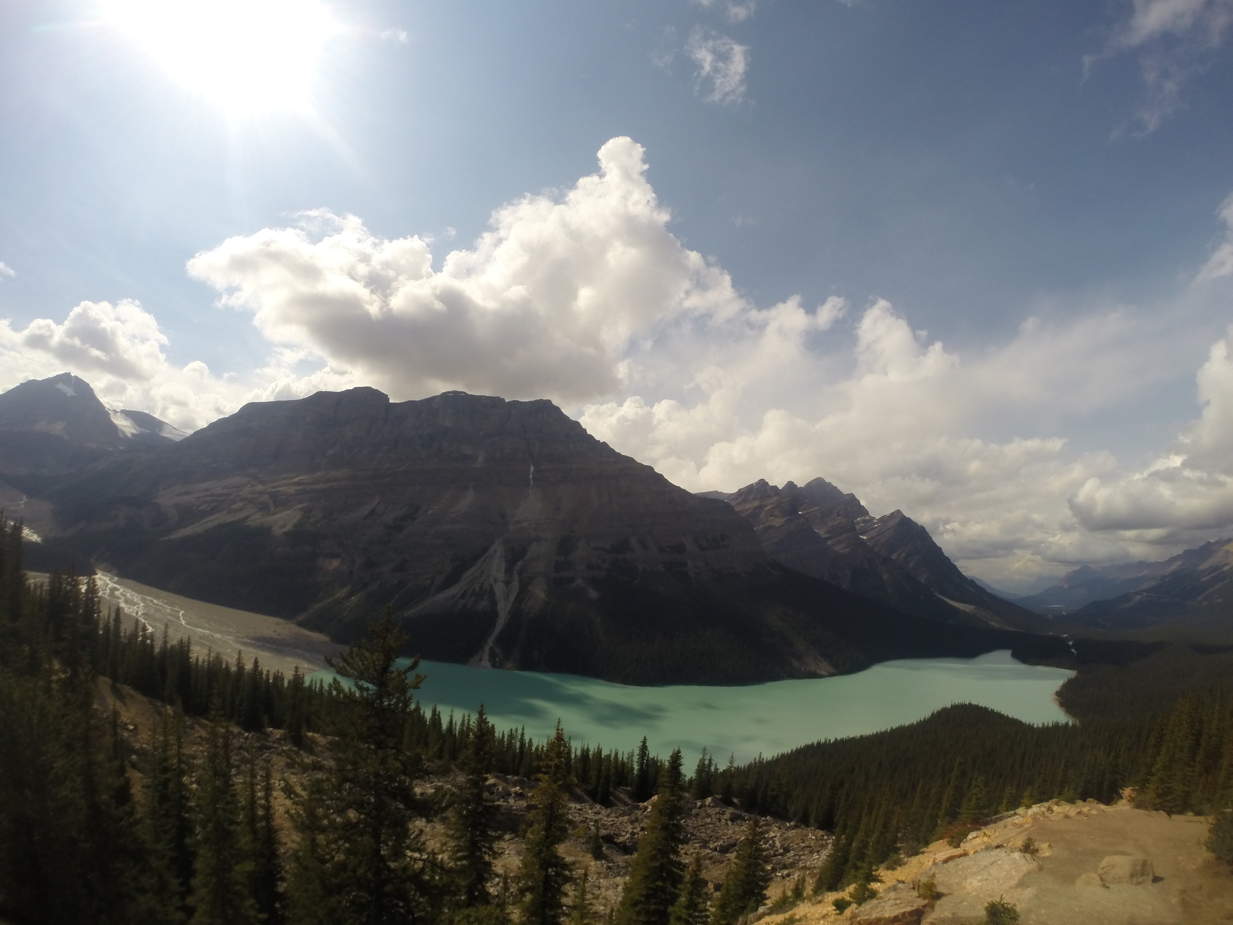
Happy adventuring! 

Hiking through the Mountains in Quebec

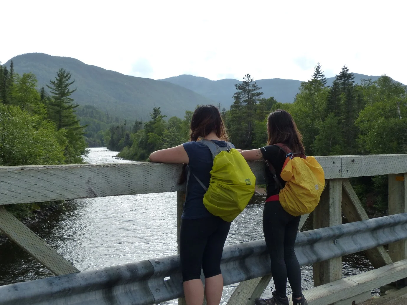
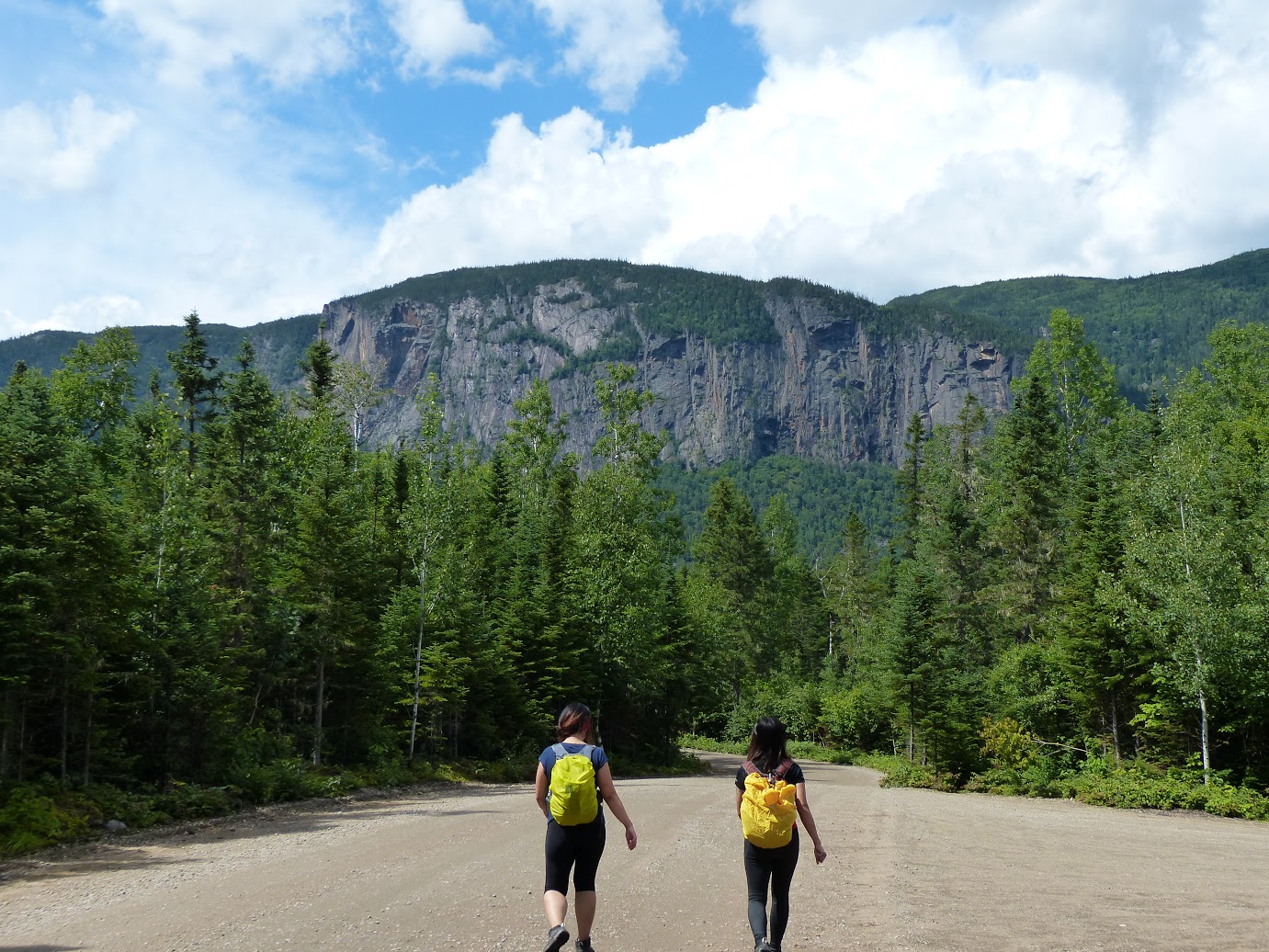
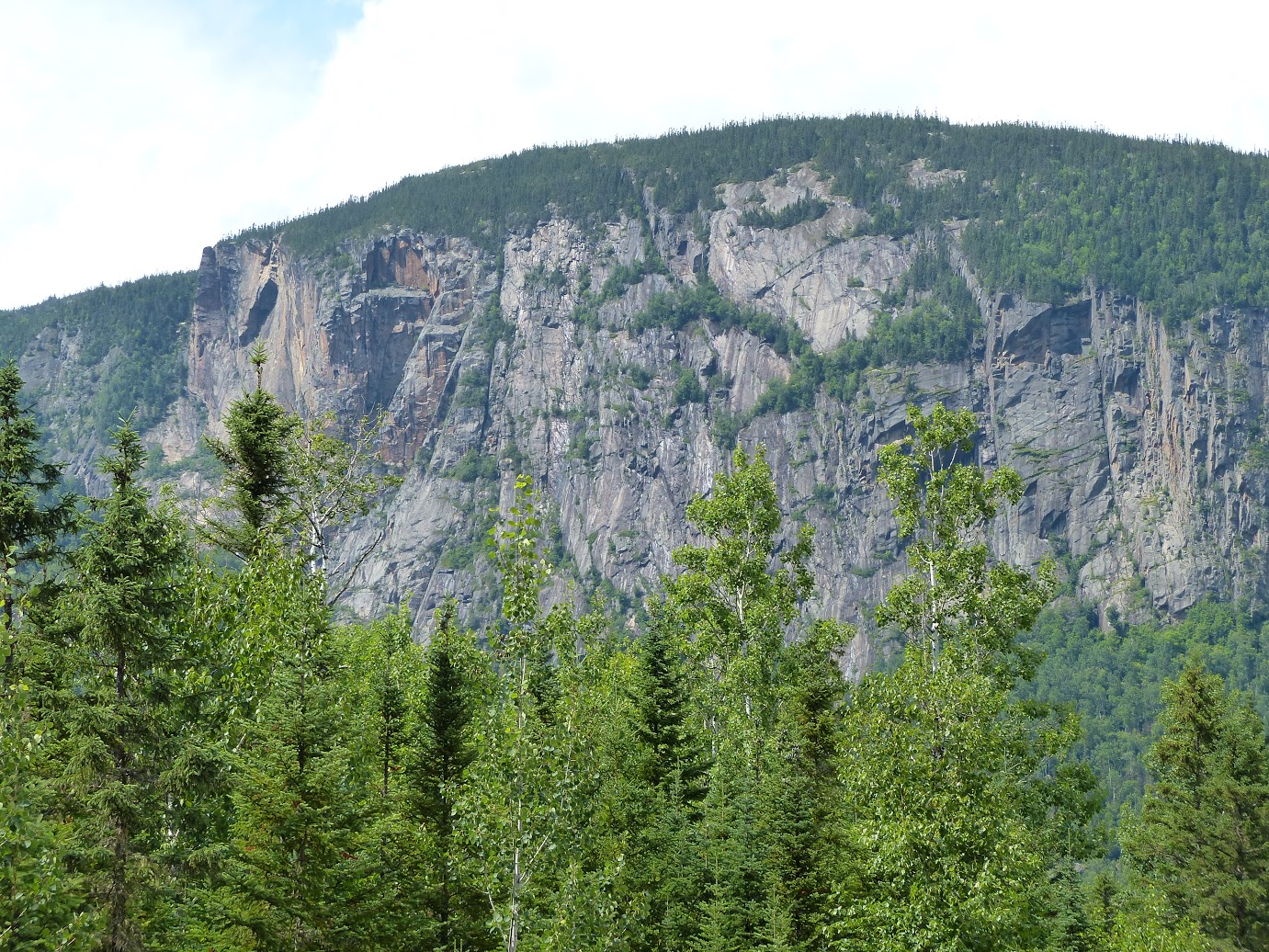
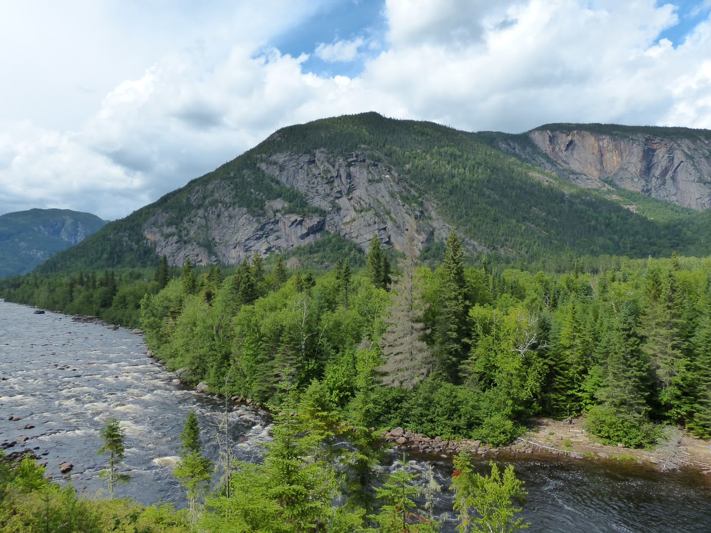
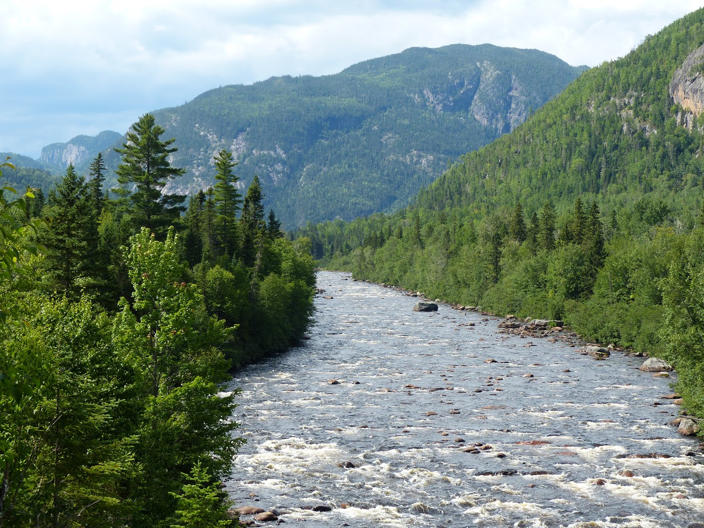
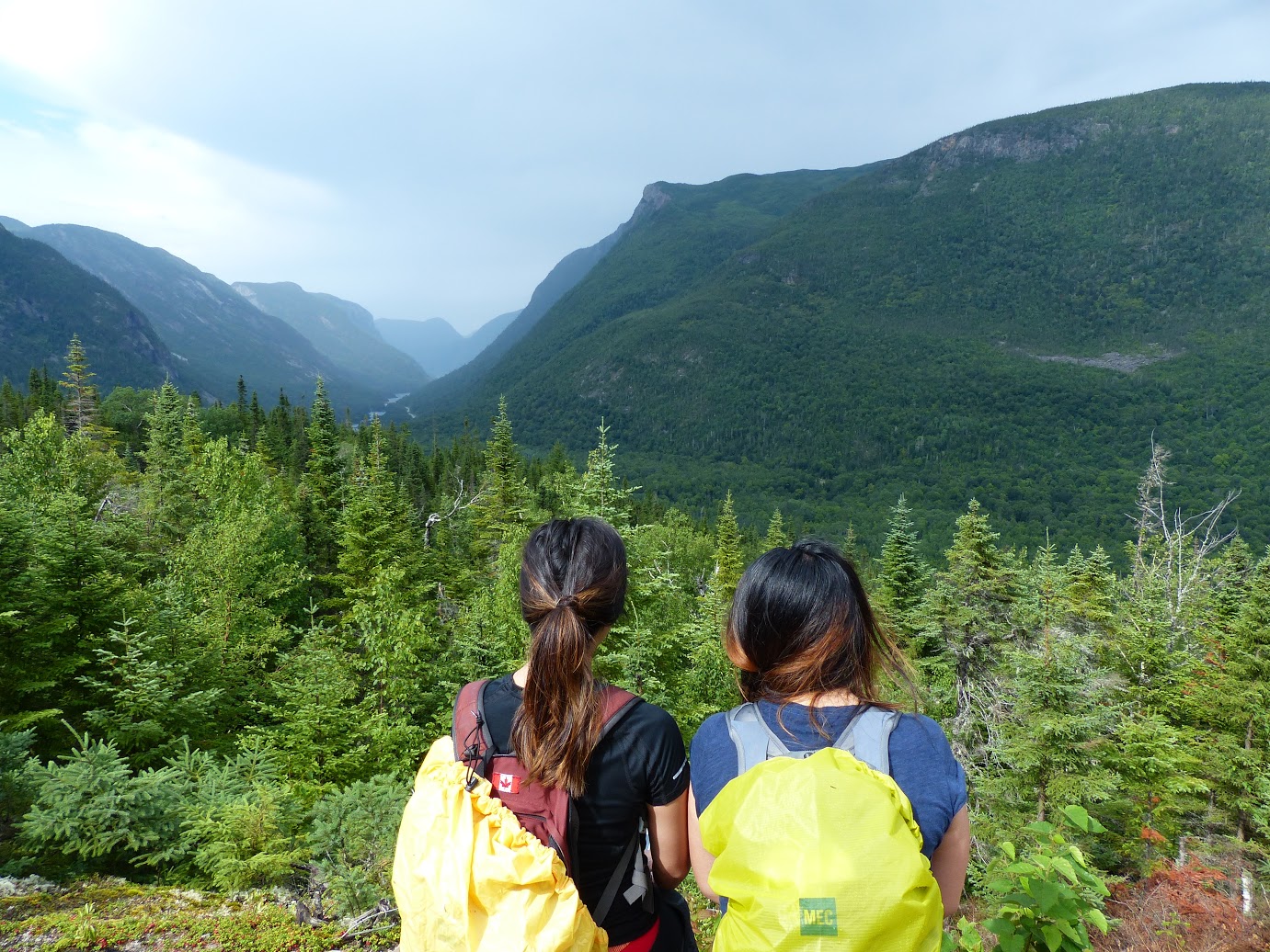
From mountains to valleys and lakes to rivers, the National Park of the Hautes-Gorges-de-la-Rivière-Malbaie offers beautiful landscapes on the east side of Canada. 

Let's Get Started:

Le Riverain
Difficulty: Intermediate
Length: 17.4 km (roundtrip)
Time: About 4-5 hours
Height: 170 m

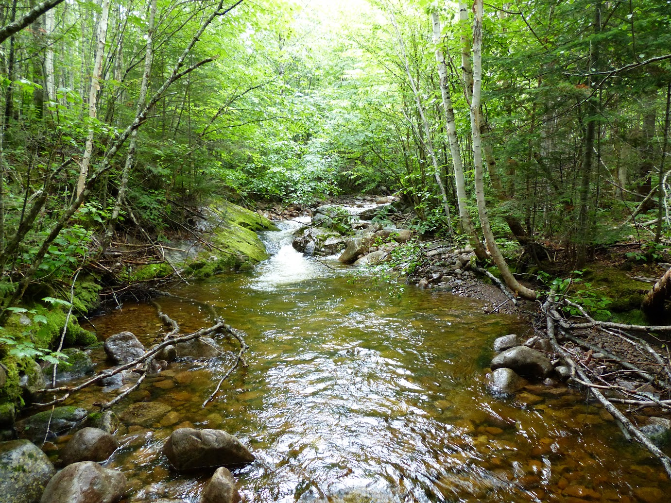
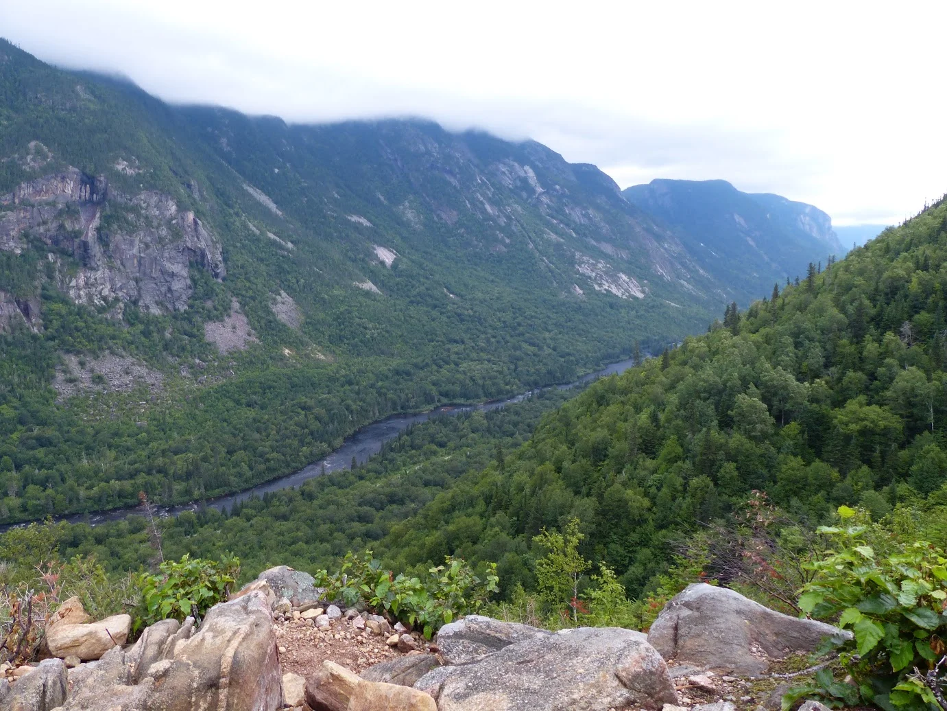
This scenic hike takes you through a forest, along the Malbaie River and finally to a spot that offers gorgeous views of the valley. Sit down, relax and take in the beautiful sights before you head back. 

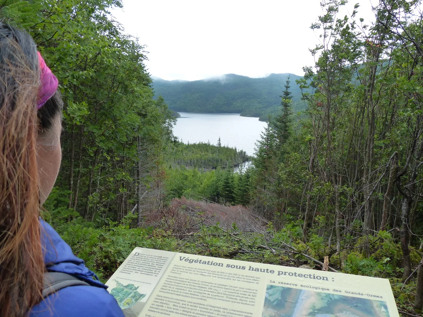
Le Acropolis des Draveurs
Difficulty: Difficult
Length: 10.4 km (roundtrip)
Time: About 4-6 hours
Height: 800 m

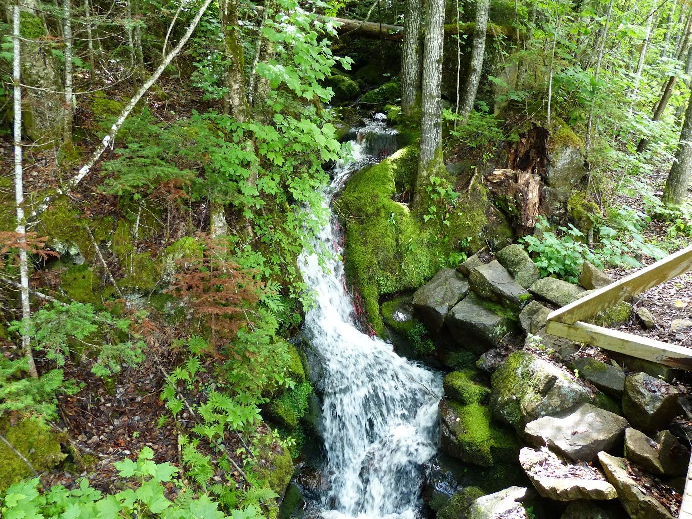
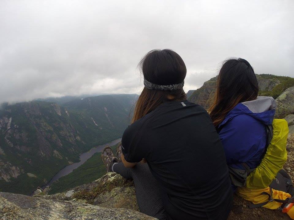
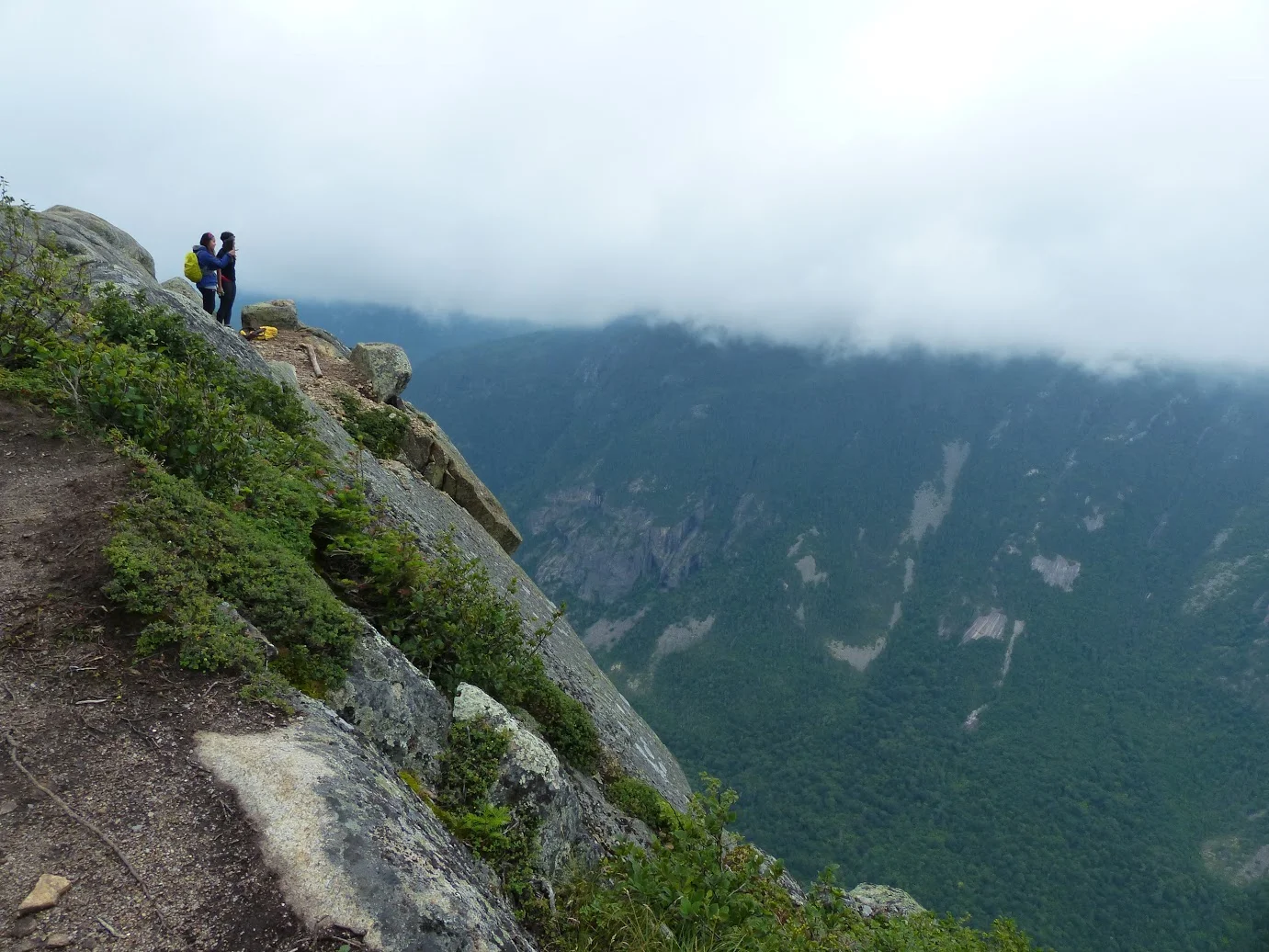
This difficult trail takes you up to three different peaks of mountains! Along the way, you'll see waterfalls, wildlife and flora in an alpine environment. Once you reach the top, you'll have a 360 panorama view of the Malbaie River valley and surrounding mountains. Just keep in mind that it gets pretty windy at the top! 

Notes:

  • The park also offers kayaking, fishing, biking, wildlife viewing, hiking, boating and ice climbing. 
  • On top of camping fees, there will be a daily access fee of $8.50. 
  • There's no parking at the hiking trails, so you will need to take a shuttle to each hiking trail unless you are willing to walk it. The shuttle runs from 8am-7pm daily.
  • No dogs are allowed in the park.
  • Always have your proof of payment on hand while you're in the park. Park rangers will ask you to see it because they've previously had a lot of hikers trespassing. 
  • If you're showering in the park, it costs 25 cents/minute. 
  • It's about a 10.5 hour drive from Toronto or a 5 hour drive from Montreal. 

Happy Adventuring!