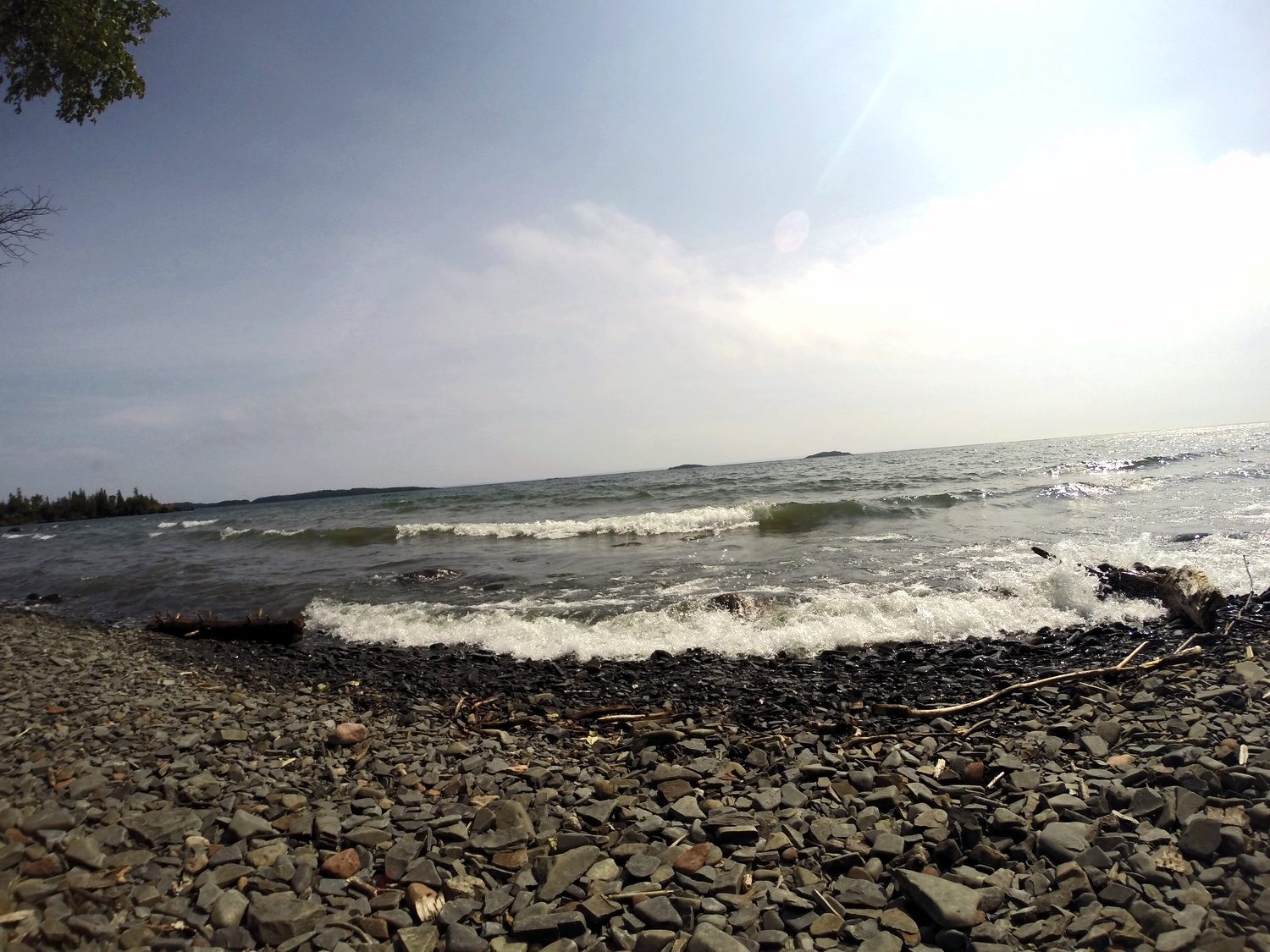
Adventure

The Lions Binkert Trail in Vancouver

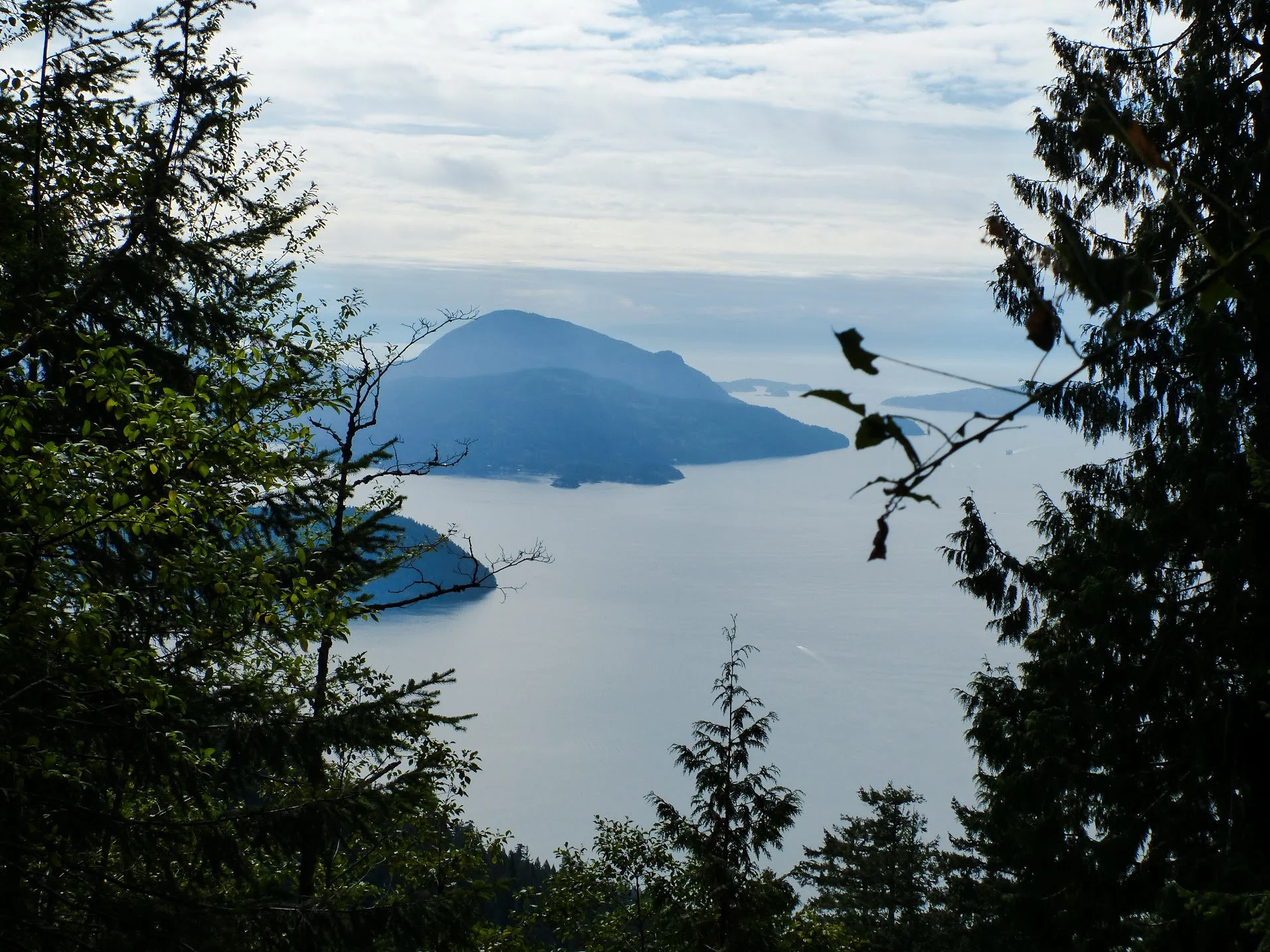
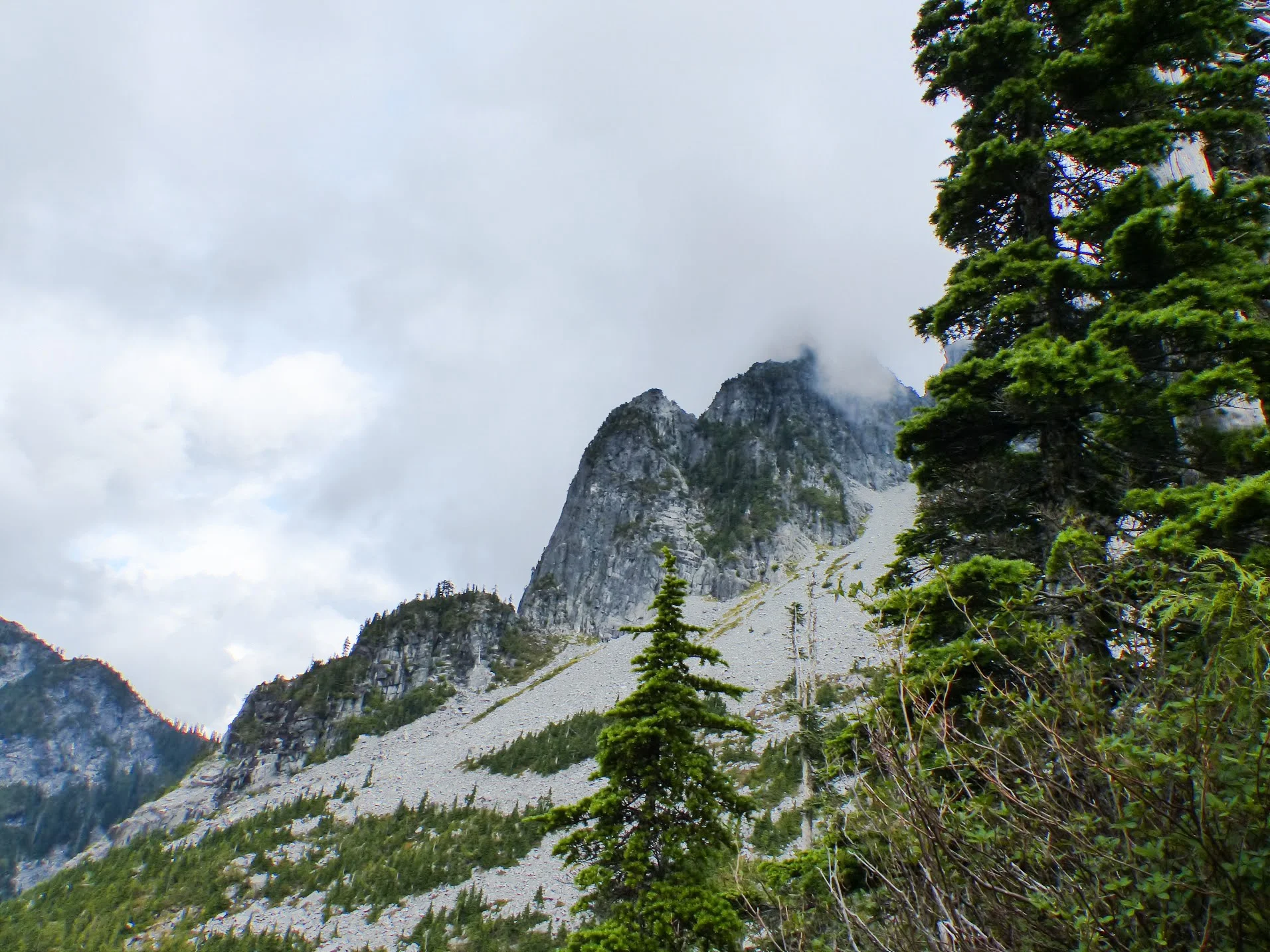
"The Lions are the two most familiar peaks seen from the city of Vancouver. The view from the Lions is truly spectacular, offering a panoramic view of Howe Sound and the Capilano Watershed down to the city of Vancouver."

We, of course, didn't see any of that when we did our hike. As always, the rain follows us on every trip we take. 

Let's get started

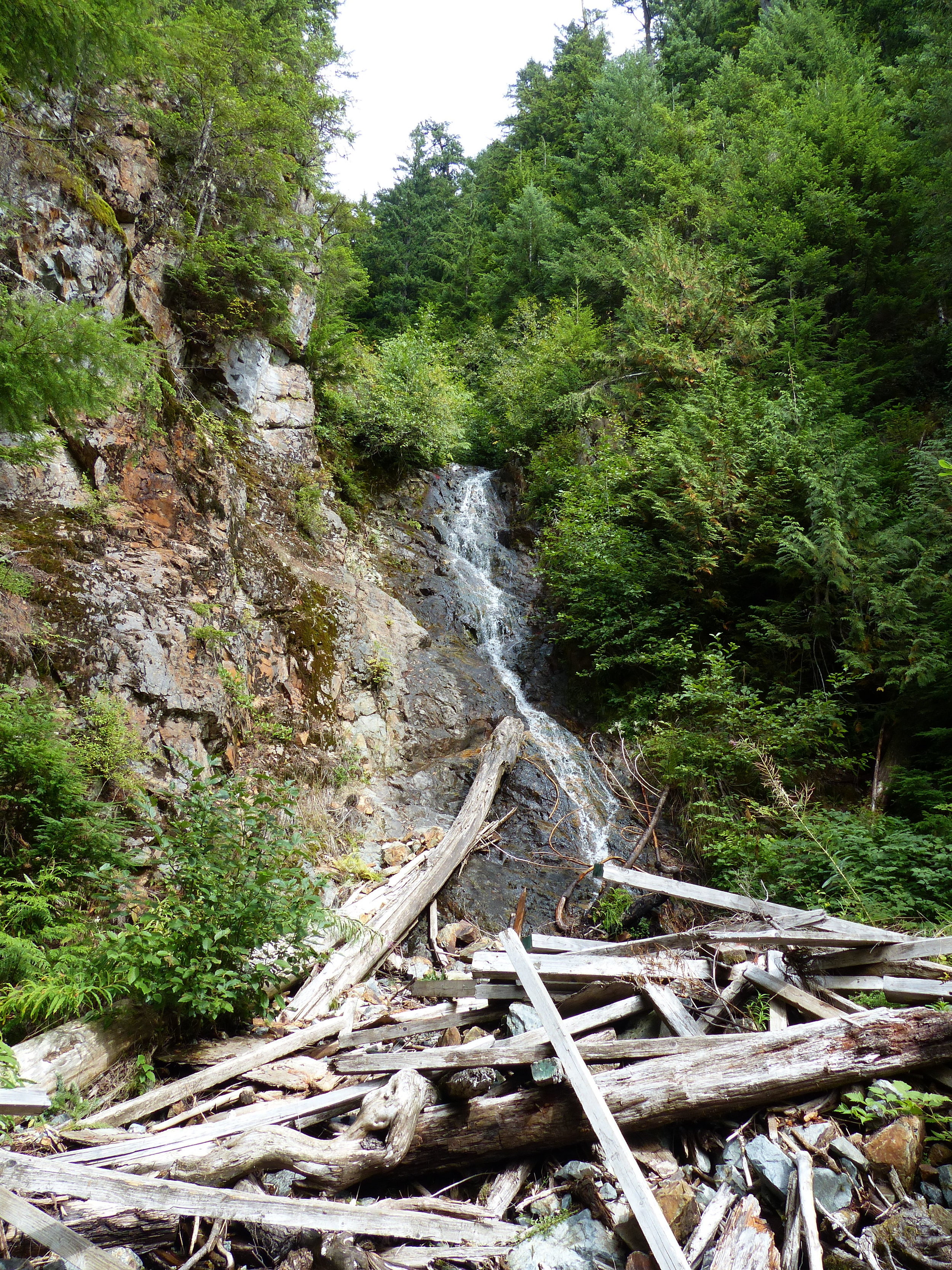
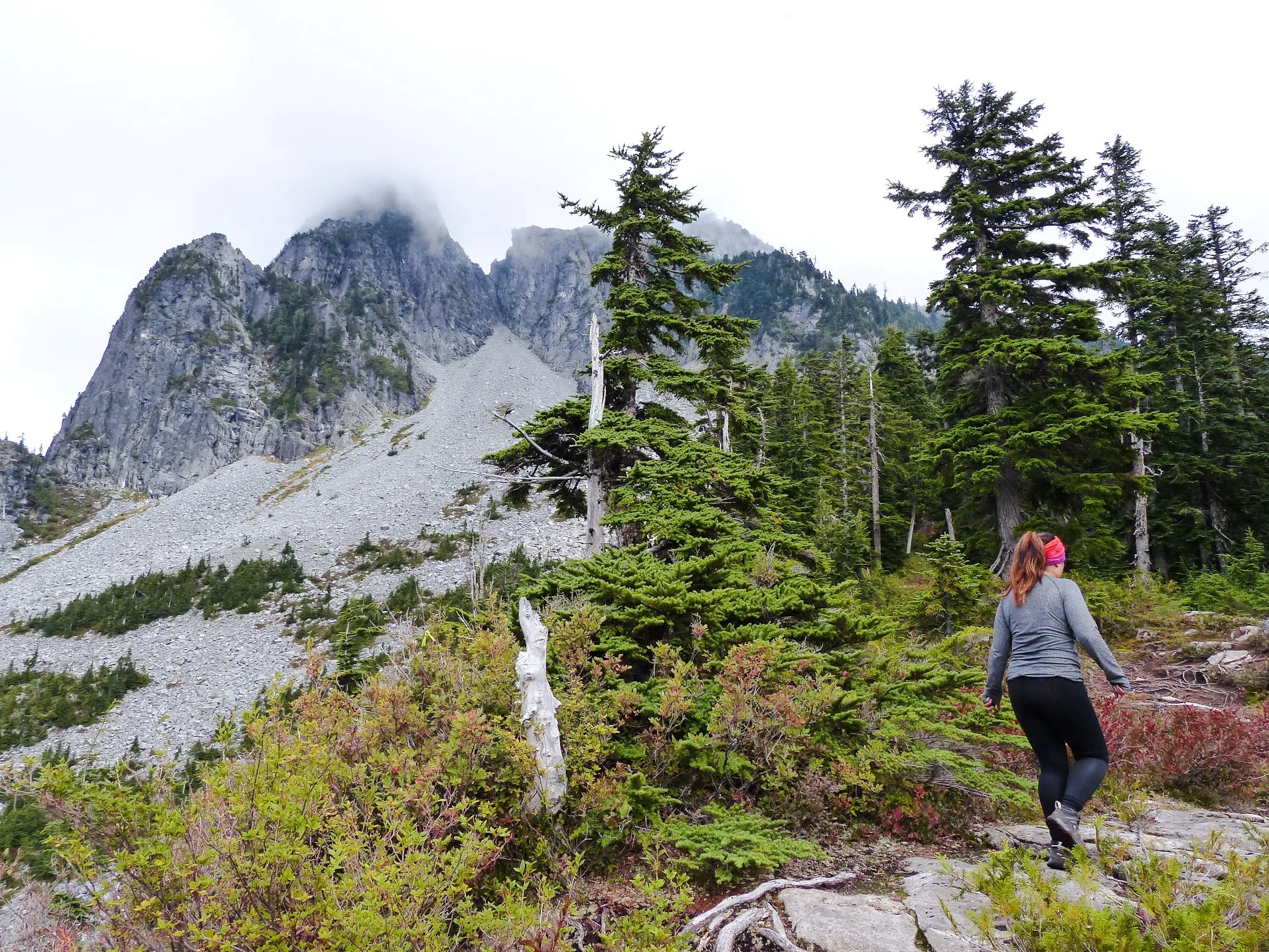
After making a winding drive to the start of the trail, head towards the gates to start your uphill battle. The gravel path will take you uphill for about 30 minutes. It'll be tough, but persevere because the toughest part is still coming up. The next 30 minutes will be easier as the terrain is relatively flat as you wrap around the mountainside. 

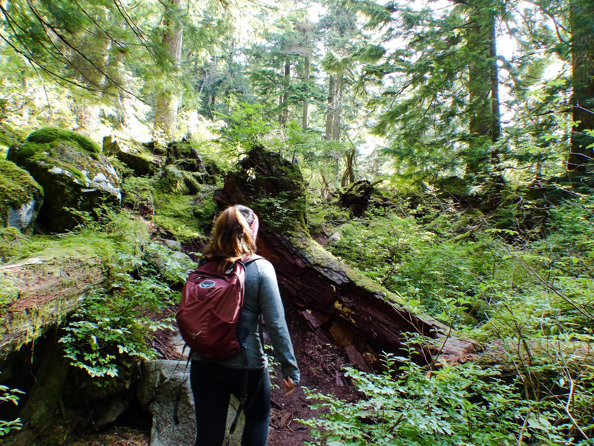
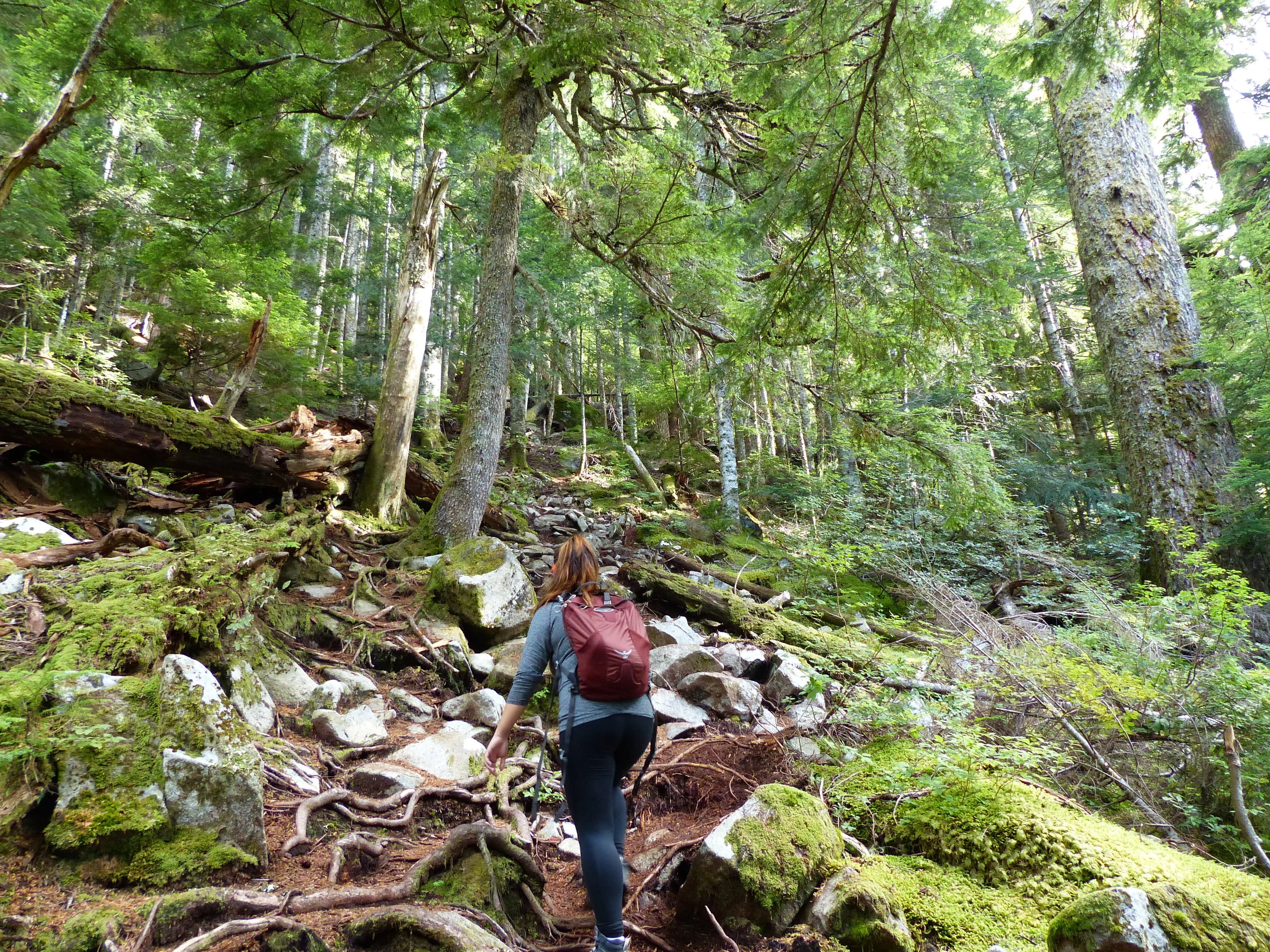
The trail will slowly become more rocky as you progress. You'll cross a short bridge with a beautiful view before reaching a forest. The next hour or so will be the hardest part of the trail as you make your way uphill over the trees and boulders while following the red tags. 

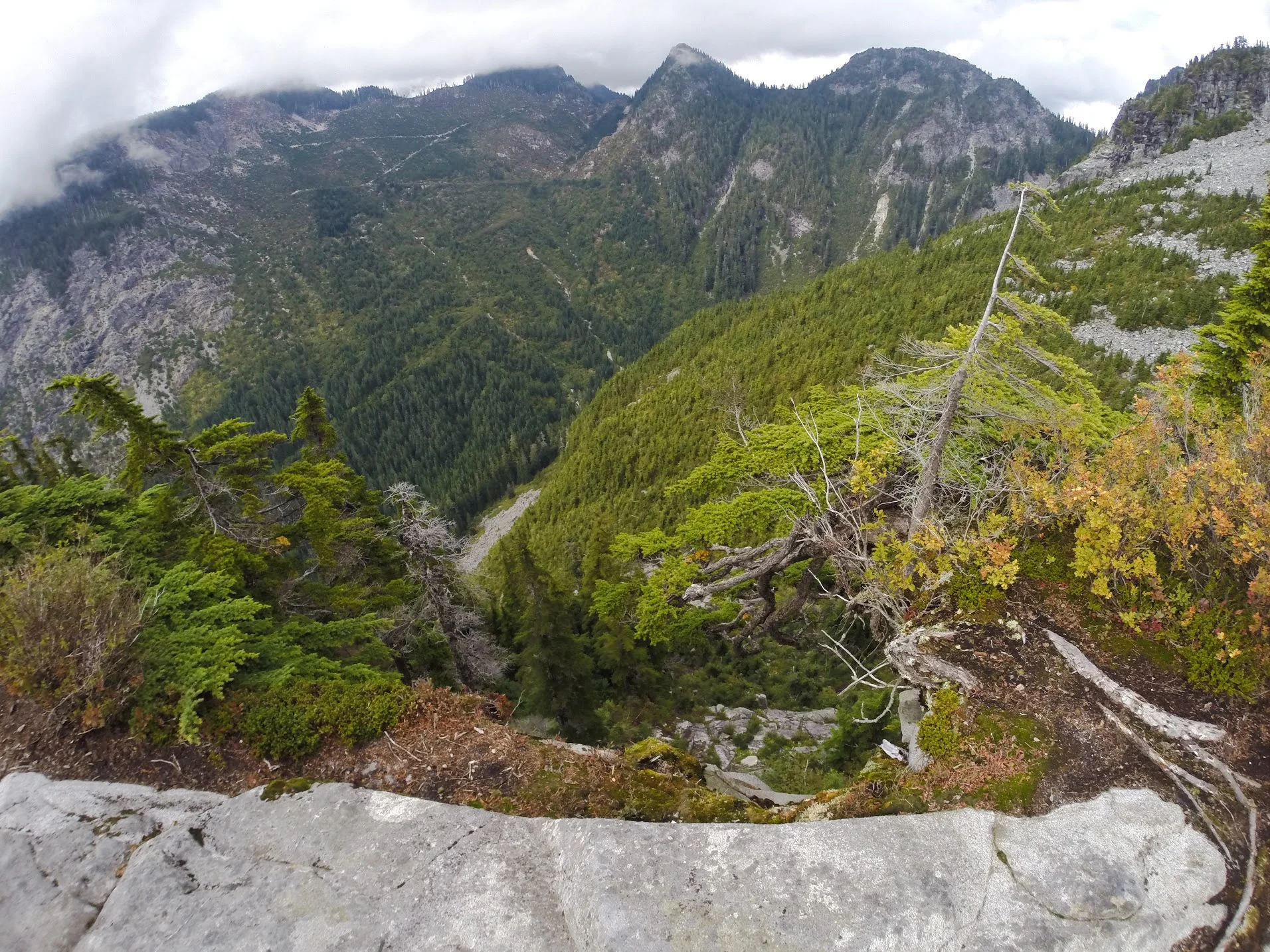
You will eventually reach the first clearing that offers a fantastic view of both Lions's peak. This is where we stopped due to timing. 

If you continue, you'll enter into the steepest part of the trail, but the reward is worth it! 

Notes:

  • This is a difficult trail. You will need between 6-8 hours to complete the hike. Just to give you an idea, we took 6.5 hours total and we only made it to the first platform. Unless you're very fit, it'll take closer to the 8 hour mark. 

  • Get there early! Parking spaces are VERY limited. There were maybe 3-5 spaces for the trail. DO NOT park illegally because you may get towed. You can park at the side of the streets or at the school. 

  • Plan ahead and pack a lunch, snacks and lot of water. 

  • If you make it to the top, it's an elevation gain of 1280 metres. 
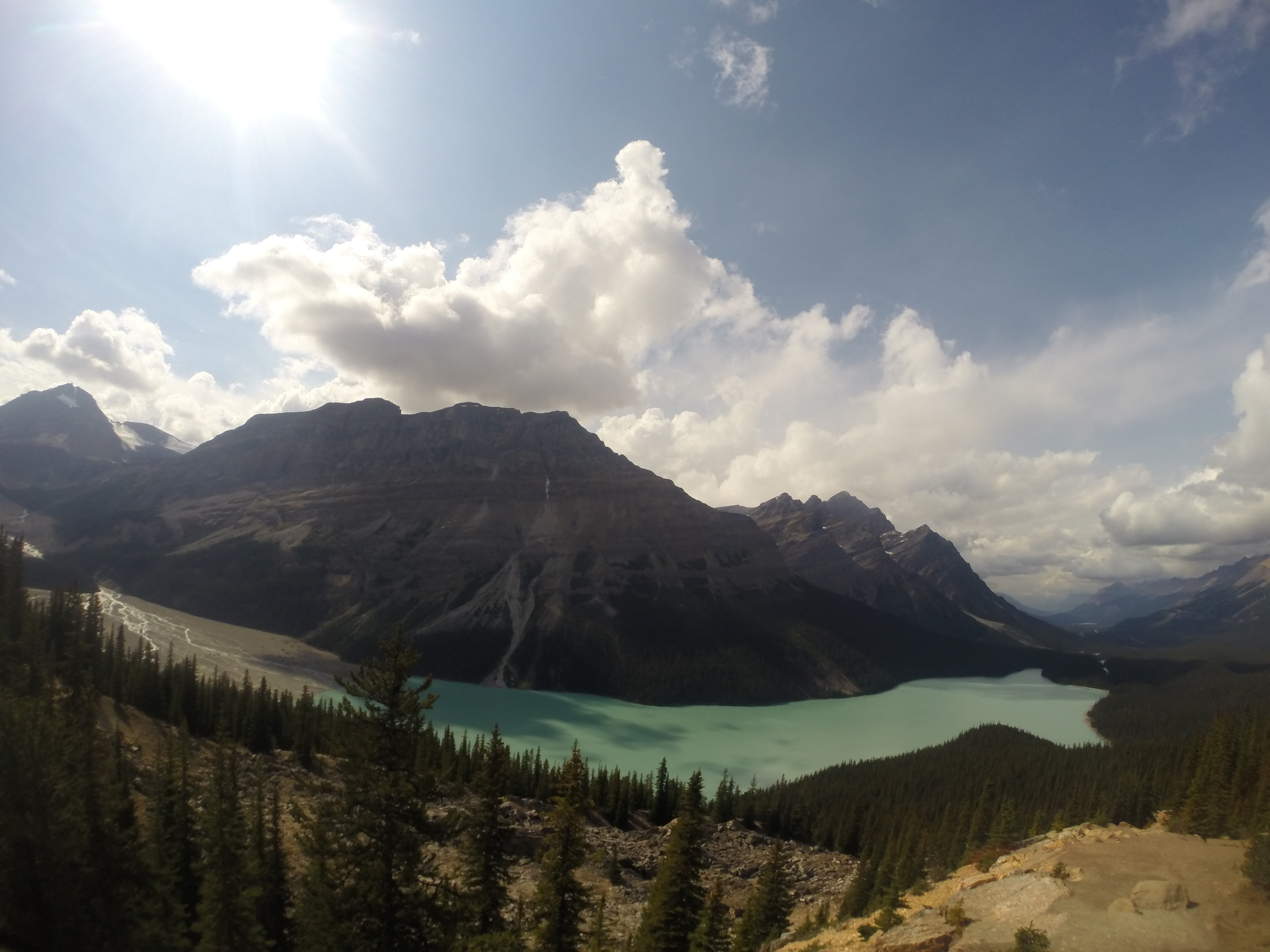
Happy adventuring! 

Hiking the Chikanishing Trail at Killarney Provincial Park

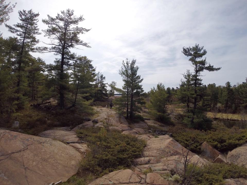
As a short, rugged but very scenic hike, the Chikanishing trail follows the Chikanishing Creek out to Georgian Bay. It passes over a series of small ridges ending up at a beautiful point on Georgian Bay before looping back. Since the trail run across Precambrian Shield granite, the terrain is mainly rocky. 

Let's get started! 

From the parking lot, head towards the trail. Or in other words, start climbing the pink boulders and follow the red markers from here. The trail is very well marked with markers either nailed to trees or painted on the rock surface. So, check the ground as well. In certain areas, just note that some of the markers will be difficult to find. 

Along the way, you'll come across several breathtaking view points. Some will have interpretive plaques that provide more information about the sights and history of the old logging operations of this part of Georgian Bay.  

The trail isn't too long nor difficult, but there will be some steep sections. In the middle of the trail, you'll head through a healthy forest with many pine, beech, birch and oak tree. Once you reach the coast of the Georgian Bay, you'll be rewarded with views of small islands and shoals. 

On a hot day, you can jump in for a swim! 

Access: Chikanishing Trail starts at the end of Chikanishing Road, 2 km west of the park office. Limited parking available. 
Length: Approx. 2km Loop Trail 
Time: 1.5 hours
Difficulty: Moderate - Difficult and steep in some sections. 

NOTES

  • In wet conditions, the rock is pretty slippery, so be careful! 
  • The trail is kind of all over the place, so you'll have to search for the trail markers. 
  • Since the trail is near water, there are tons of flies swarming around. Bring bug spray, sunscreen and water! 

Happy Adventuring!

Hiking to the Top of the Sleeping Giant

From breathtaking views of Lake Superior to incredible geological features, Sleeping Giant Provincial Park offers an amazing getaway for an outdoor enthusiast. You can find hiking and biking trails, view wildlife in the park's boreal forest and camp under a blanket of stars. With a goal to reach the top of the Sleeping Giant, this challenging hike has a worthwhile view. 

Let's get started! 

Starting at the Kabeyon South Trailhead, hike follows the Kabeyun Trail for 6 kilometres and past Tea Harbour. Continuing up the Talus Lake Trail, follow the signs to the Top of the Giant. Get those legs ready because it's all uphill from here. Once you reach the top, continue another 2 kilometres to reach the scenic lookout with spectacular views of Lake Superior. 

Along the way, you'll see fantastic views of Lake Superior from the top and the bottom, possibly some wildlife and a panic attack when you peer over the edge at the top.

NOTES:

  • The difficult trek is 22.4 kilometres and takes between 6-8 hours to finish. 
  • Elevation gain: 950 feet.
  • The terrain is very rugged and there's tons of uphill and downhill hiking. 
  • Bring water, food, sturdy footwear, sunscreen and bug spray.

Happy Adventuring!