Adventure

Forks of the Credit Provincial Park in Caledon

If you're up a a hike just north of Toronto, you should check out Forks of the Credit Provincial Park in Caledon. It's a beautiful park with relatively challenging trails because of the rolling hills. It's the perfect place to visit all-year round!

What we did: 

Since we were in the mood to see a waterfall, we ended up hiking the trail to Cataract Falls. There are trail markers throughout that will have a panel pointing to the "Falls." Just follow them and you should be fine. On the way back, the panel will say "Parking Lot."

There are many hills throughout the trail, but it's not too bad. I definitely felt the burn while hiking up the hills. Otherwise, the trails are well-kept and are of moderate difficulty. Once you reach the waterfall, there's a few lookouts where you can take photos. You won't be able to get anywhere near the falls since the area is completely blocked off. But you should be able to see it just fine from the lookout. 

It took us about 1.5 hours total reach the waterfall and make it back to the parking lot.  


NOTES:

  • Location: 17760 McLaren Road, Caledon, ON L7K 2H8
  • Parking fee: There's no entrance fee, but there's a parking fee. Apparently the machine gives the option for 2 hours, 4 hours or the whole day. But when I tried to pay it only gave me the option for the full day. Or maybe I don't know how to use the machine properly. 
  • Trails: You can find the Bruce trail, Dominion trail, Kettle trail, Meadow trail, Ruins trail and Trans Canada trail here. 
  • Difficulty: Moderate - The trails are well-kept but there are a few hills to conquer. 
  • Time: This is entirely up to you. There are so many hiking trails that you can spend just a few hours or a whole day there.
  • Dogs: Dogs are allowed but you must keep them leashed. 
  • Horses: Horseback riding is permitted on the Trans Canada trail only.
  • Activities: You can also fish here or go cross-country skiing and snowshoeing in the winter. In the summer, spring and fall, you can also hang out in the picnic area. 
  • As a heads up, it can get pretty crowded here. We went on a Sunday afternoon on a gloomy day and the parking lot was packed!

Happy Adventuring! 

Eramosa Karst Conservation Area in Hamilton

When you think of hiking, I bet you don’t think you would come across karsts did you? Well, at Eramosa Karst Conservation Area, the park is filled with treasures including forests, meadows and underground caves and steams. But before we explain more about that, you may be wondering: what is a karst? Karsts are geological formations that include underground drainage, caves and passages caused by dissolving rock. 

As a great spot for a hike, Eramosa Karst’s interesting geology makes it a one-of-a-kind place to visit in Hamilton. There are over four kilometres of trails, boardwalks and bridges that take you through forests, meadows, geological formations and a natural amphitheatre. Here, you’ll find three trails here that range from easy to moderate difficulty: Karst Features Trail, Meadows Trail and Bobolink Trail.

What we did:

We mostly stayed on the Karst Features Trail so we could visit Pottruff Cave,  Nexus Cave and see some karst features. You should hit both if you stay on the trail, but we had trouble finding them. You'll have to keep an eye out so you don't miss it. We ended up having to backtrack so we could find it. 

Pottruff Cave is quite large and a pretty neat geological feature if you haven't seen too many caves in your life. If you climb down into the entrance, you'll feel pretty small. 

For Nexus Cave, you'll be able to see the entrance as well as a window for it at two different spots. These features aren't as striking as Pottruff Cave, but worth checking out if you're already on the trail. 

NOTES:

  • Location: Upper Mount Albion Road, Stoney Creek, ON
  • Parking fee: There's no entrance fee - yay! But there's a parking fee of $2/hour. 
  • Time: We budgeted about 2 hours here and we were able to fully complete the Karst Features Trail and part of the Meadows Trail. 
  • Dogs: Dogs are allowed but you must keep them leashed. 

Happy Adventuring! 

Limehouse Conservation Area in Halton Hills

From experiencing the natural wonders of the Niagara Escarpment to learning more about the cultural heritage of its past, Limehouse Conservation Area offers a unique experience for adventurers. At its heart lies a geological area known as the “Hole in the Wall”, where ladders cut through fissures in the escarpment rock. 

There are 5 trails of moderate difficulty: Kiln Trail (0.05 km), CVC Trail (0.9 km), Bruce Trail (1.9 km), Black Creek Side Trail (1.5 km) and the Access Trail (0.2 km). 

What we did:

We stayed on the Bruce Trail (take at a left when you reach the fork at the beginning of the trail) and made it to the "Hole in the Wall," bridge as well as the Lime Kilns and Mills Ruins. 

The "Hole in the Wall" was an unexpected pleasant surprise for us. We didn't realize how much fun it was would be to climb down the ladder into the fissure and climb around. You can spend a chuck of time exploring the area and seeing where each fissure leads you. 

Continuing past the fissure on the Bruce Trail, you'll reach the river where you can cross the bridge over Black Creek. It's definitely a photo-worthy bridge. But be careful when you cross it! 

On the other side of the bridge, continue on the trail and you'll find the Lime Kilns and Mills Ruin. 

NOTES:

  • Location: 12169 Fifth Line, Limehouse L0P 1H0
  • Entrance fee: There's a donation box at the main entrance. 
  • Dogs: Dogs are allow, but must be leashed. 
  • Time: We spent about 2 hours here, mostly exploring the "Hole in the Wall."

Happy Adventuring! 

Upper, Middle and Lower Sydenham Falls in Hamilton

Up for short hike? You can see Upper, Middle and Lower Sydenham Falls in 30 minutes!

Let's Get Started

Park at Cascades Park and head up the gravel path. From the bridge, you can see Lower Sydenham Falls here. Don't fully cross the bridge, and head back to the left side of the stream. Head up the trail from here. 

Follow the trail

Check out the bridge before continuing the trail to the left

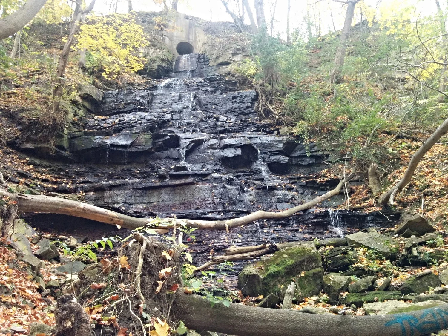
Lower Sydenham Falls

Lower Sydenham Falls

Keep left at the fork 

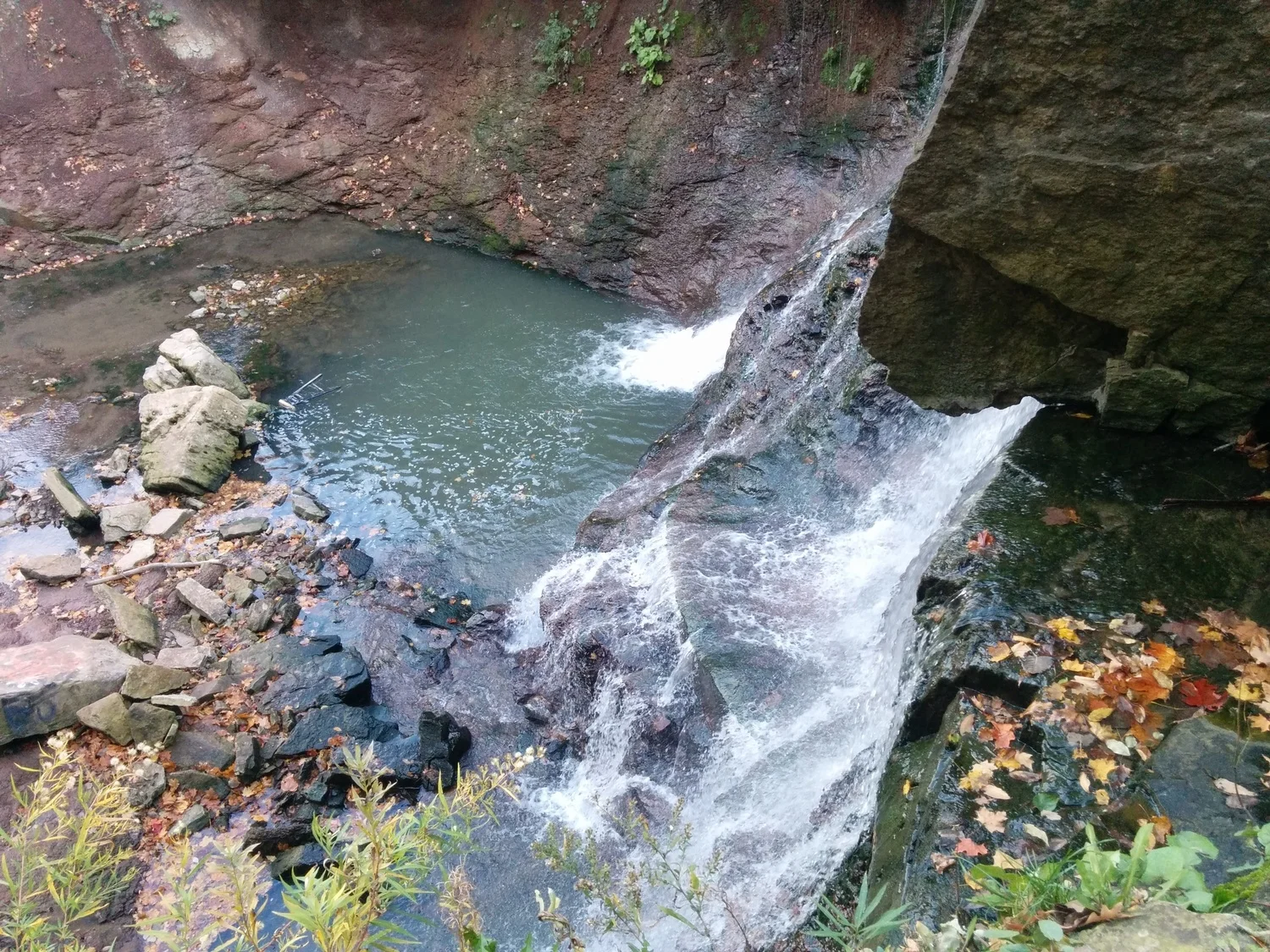
About half up, you'll see a small path on your right side that leads downhill. If you choose to, you can take this path down to Middle Sydenham Falls. 

Middle Sydenham Falls

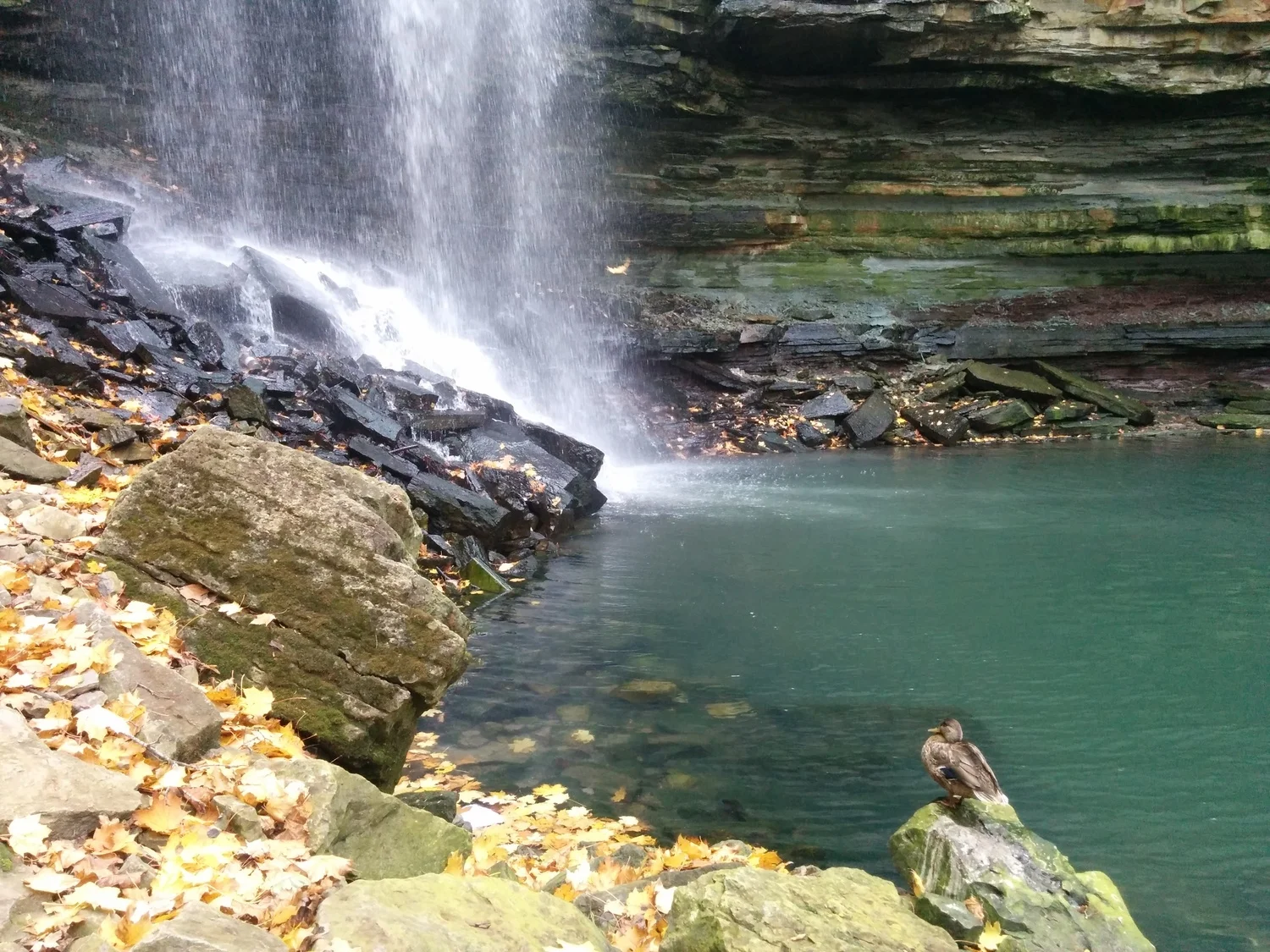
Go back up to continue on the trail. You'll see a small set of stairs. At the top, take a right and continue on the trail. The trail will take you by the stream. Keep following it and you'll reach Upper Sydenham Falls

Upper Sydenham Falls from the base

Notes:

  • You can park on Livingstone Drive beside Cascades Park for free.
  • This hike takes only 30 minutes round-trip. 
  • Take a stroll across the bridge to the other side, the graffiti is actually kind of cool.

Happy Adventuring!

A Taste of Mars: Cheltenham Badlands In Caledon

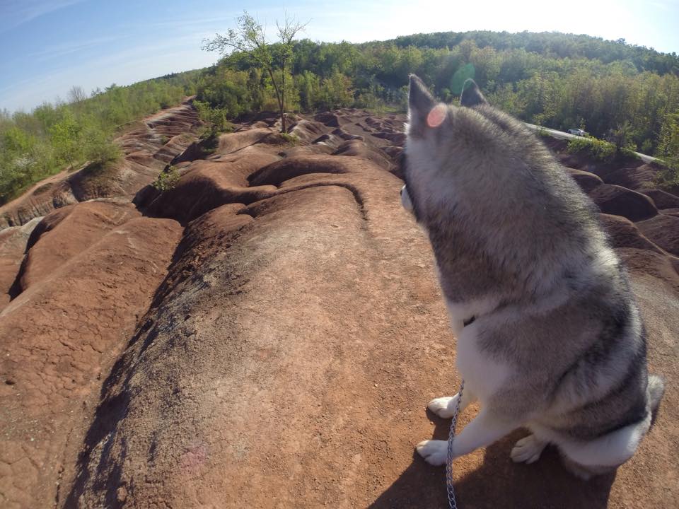
For its reddish hue, rolling hills with streaks of greyish-green and leafy trees surrounding the area, the Cheltenham Badlands offer an incredible view in Ontario. Composed of iron-rich Queenston Shale, the unique red landscape was created due to poor farming practices in the 1930's which caused overgrazing of the land. The exposed bedrock eroded into a series of striking ridges and gullies. Because the rock is so sensitive, it erodes easily, creating those rolling, red dunes that look like you're on Mars. As one of the best examples of "badlands topography" in Ontario, the Cheltenham Badlands are a geological treasure!

Let's get started!

Off Hwy 10, turn onto Old Baseline Road and head down until you reach the badlands. There's a small parking lot off the side of the road.

Notes:

  • The term "badlands" refers to land that is highly eroded, barren and dry. 
  • The area is very fragile, so don't climb on the hills when the ground appears soft. 
  • Be sure to check it out before it's temporarily closed. A protective fence will be placed along Olde Baseline Road at the end of May 2015.
  • Update: Public access to the badlands is only available at the viewing area at the top of the badlands slope. 

Chedoke Falls and Denlow Falls in Hamilton

Interested in an adventure? You can hike to Chedoke Falls to see some amazing waterfalls. The backcountry hike has no actual trail which makes it an interesting challenge. Although, there's a good chance your shoes will get wet. 

Let's get started!

Located in Hamilton, Ontario, the trail starts at the Chedoke Civic Golf Club. From the parking lot, take the Chedoke Radical Trail (Bruce Trail) up to the ravine. Take a right at the 'push up' signs and continue hiking the trail for a few minutes. When you see the river, climb down to the bottom and start hiking up the river bed. 

From here, it's pretty much a 'choose your own adventure.' There's no marked trail, so you need to hike however you feel is safe. It's very rocky, challenging and dangerous, so be very careful. We kept crossing the river back and forth depending on which side had more land to hike on. This is how you get wet.

Along the way, you'll see the Lower Chedoke Falls. Climb to the top of the falls (on the right) and keep following the river upstream. You'll end up reaching Denlow Falls and finally Chedoke Falls. Take a walk behind the falls, it's quite the experience! 

Notes:

  • It took us around 2-2.5 hours to hike, which included us getting lost and stopping for pictures. 
  • There's no parking fee. 
  • You'll probably get wet unless you're good at crossing rivers.
  • Some parts can get pretty steep. You'll need to use the tree roots to climb some parts.

Happy Adventuring! 

Fall Colours at Bon Echo

Fall Colours at Bon Echo

It's only during the fall when leaves paint the forest in an array of gorgeous colours. It's one of the most beautiful times to go hiking. 

We wanted to take advantage of that, so we headed out to Bon Echo Provincial Park for the day to enjoy the lovely coloured trees.  Located in Cloyne, Ontario, the park features over 260 pictographs painted on Marzinaw Rock. The only way to access them is either canoe over or take the boat tour.  Unfortunately, the boat tour wasn't running when I went and it was too cold and windy to canoe over.