Silver Creek Conservation Area in Halton Hills

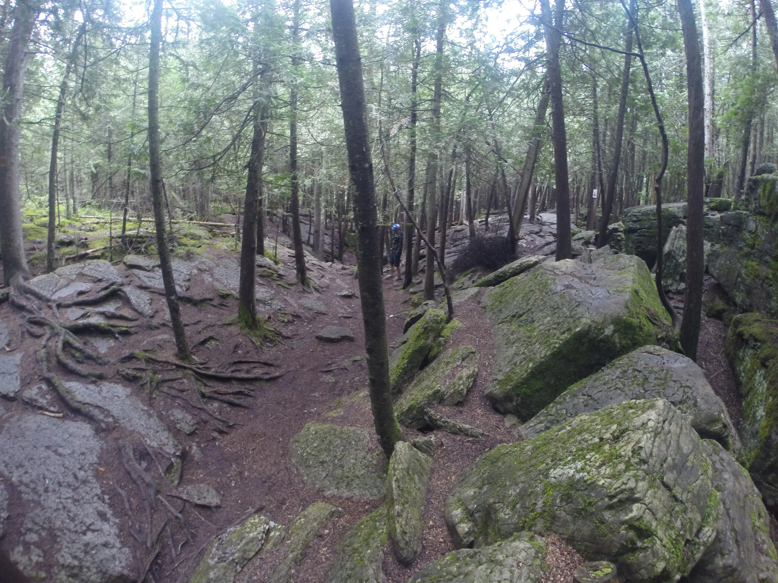
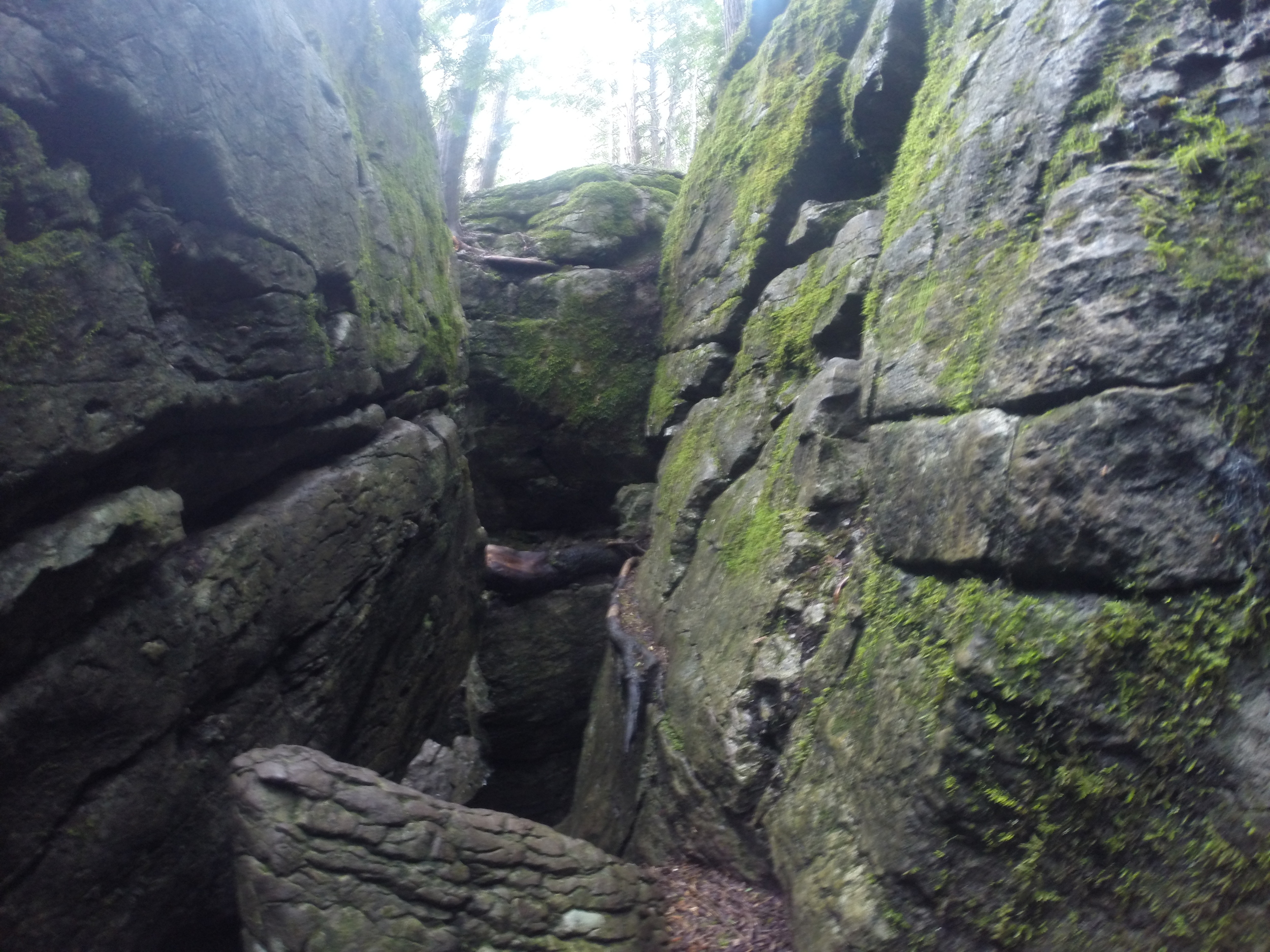
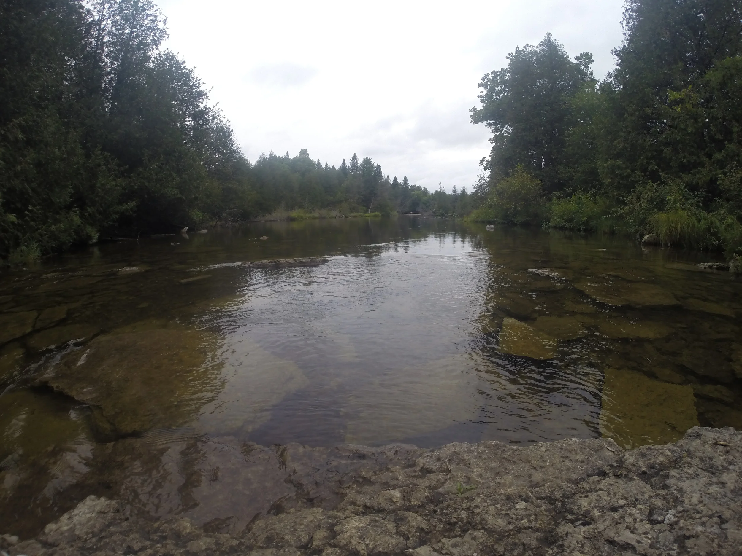
On a warm afternoon, we decided to go on a short hike at Silver Creek Conservation Area

What we Did

We parked at the side of the road and headed over to the information board with the map. As a heads up, we didn't find this map too helpful since it didn't highlight what the trails were or how long they were. To avoid our mistake, make sure to check out the online map before you begin. We decided to follow the Bruce Trail for maybe an hour before it got too muddy for us to continue. 

Even though we didn't stay long, we really enjoyed the hike. There are so many side trails to choose from. Whether you're looking to do something shorter or longer, you can customize the hike to your liking. 

From photos we've seen online, there's a waterfall somewhere in this conservation area. If you know which trail it's on, let us know and we'll go back to hike it!

Notes

  • Location: Vehicle access from Town of Halton Hills 9th Line and Fallbrook Trail (27th Sideroad) L7G 4S8. Or you can just Google Maps it. 
  • Hours: Sunrise to sunset.
  • Parking fee: There's a donation box at the main kiosk of 9th Line. 
  • Trails: There are six trails you can hike here. I would check the map before you head out. The map at the entrance wasn't too clear. 
  • Difficulty: Moderate - It didn't seem too difficult, but we also didn't make it to all of the trails. 
  • Time: This is entirely up to you. There are so many hiking trails that you can spend one hour or a whole day there.
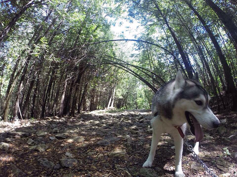
  • Dogs: Dogs are allowed but you must keep them leashed. 

Happy Adventuring! 

Forks of the Credit Provincial Park in Caledon

If you're up a a hike just north of Toronto, you should check out Forks of the Credit Provincial Park in Caledon. It's a beautiful park with relatively challenging trails because of the rolling hills. It's the perfect place to visit all-year round!

What we did: 

Since we were in the mood to see a waterfall, we ended up hiking the trail to Cataract Falls. There are trail markers throughout that will have a panel pointing to the "Falls." Just follow them and you should be fine. On the way back, the panel will say "Parking Lot."

There are many hills throughout the trail, but it's not too bad. I definitely felt the burn while hiking up the hills. Otherwise, the trails are well-kept and are of moderate difficulty. Once you reach the waterfall, there's a few lookouts where you can take photos. You won't be able to get anywhere near the falls since the area is completely blocked off. But you should be able to see it just fine from the lookout. 

It took us about 1.5 hours total reach the waterfall and make it back to the parking lot.  


NOTES:

  • Location: 17760 McLaren Road, Caledon, ON L7K 2H8
  • Parking fee: There's no entrance fee, but there's a parking fee. Apparently the machine gives the option for 2 hours, 4 hours or the whole day. But when I tried to pay it only gave me the option for the full day. Or maybe I don't know how to use the machine properly. 
  • Trails: You can find the Bruce trail, Dominion trail, Kettle trail, Meadow trail, Ruins trail and Trans Canada trail here. 
  • Difficulty: Moderate - The trails are well-kept but there are a few hills to conquer. 
  • Time: This is entirely up to you. There are so many hiking trails that you can spend just a few hours or a whole day there.
  • Dogs: Dogs are allowed but you must keep them leashed. 
  • Horses: Horseback riding is permitted on the Trans Canada trail only.
  • Activities: You can also fish here or go cross-country skiing and snowshoeing in the winter. In the summer, spring and fall, you can also hang out in the picnic area. 
  • As a heads up, it can get pretty crowded here. We went on a Sunday afternoon on a gloomy day and the parking lot was packed!

Happy Adventuring! 

Eramosa Karst Conservation Area in Hamilton

When you think of hiking, I bet you don’t think you would come across karsts did you? Well, at Eramosa Karst Conservation Area, the park is filled with treasures including forests, meadows and underground caves and steams. But before we explain more about that, you may be wondering: what is a karst? Karsts are geological formations that include underground drainage, caves and passages caused by dissolving rock. 

As a great spot for a hike, Eramosa Karst’s interesting geology makes it a one-of-a-kind place to visit in Hamilton. There are over four kilometres of trails, boardwalks and bridges that take you through forests, meadows, geological formations and a natural amphitheatre. Here, you’ll find three trails here that range from easy to moderate difficulty: Karst Features Trail, Meadows Trail and Bobolink Trail.

What we did:

We mostly stayed on the Karst Features Trail so we could visit Pottruff Cave,  Nexus Cave and see some karst features. You should hit both if you stay on the trail, but we had trouble finding them. You'll have to keep an eye out so you don't miss it. We ended up having to backtrack so we could find it. 

Pottruff Cave is quite large and a pretty neat geological feature if you haven't seen too many caves in your life. If you climb down into the entrance, you'll feel pretty small. 

For Nexus Cave, you'll be able to see the entrance as well as a window for it at two different spots. These features aren't as striking as Pottruff Cave, but worth checking out if you're already on the trail. 

NOTES:

  • Location: Upper Mount Albion Road, Stoney Creek, ON
  • Parking fee: There's no entrance fee - yay! But there's a parking fee of $2/hour. 
  • Time: We budgeted about 2 hours here and we were able to fully complete the Karst Features Trail and part of the Meadows Trail. 
  • Dogs: Dogs are allowed but you must keep them leashed. 

Happy Adventuring! 

Limehouse Conservation Area in Halton Hills

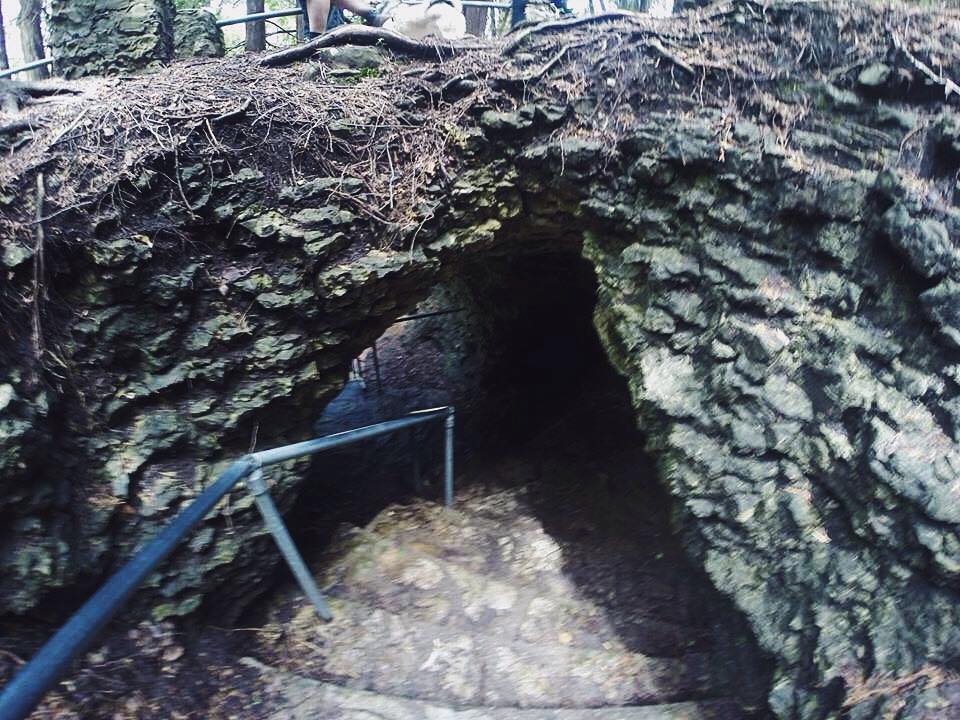
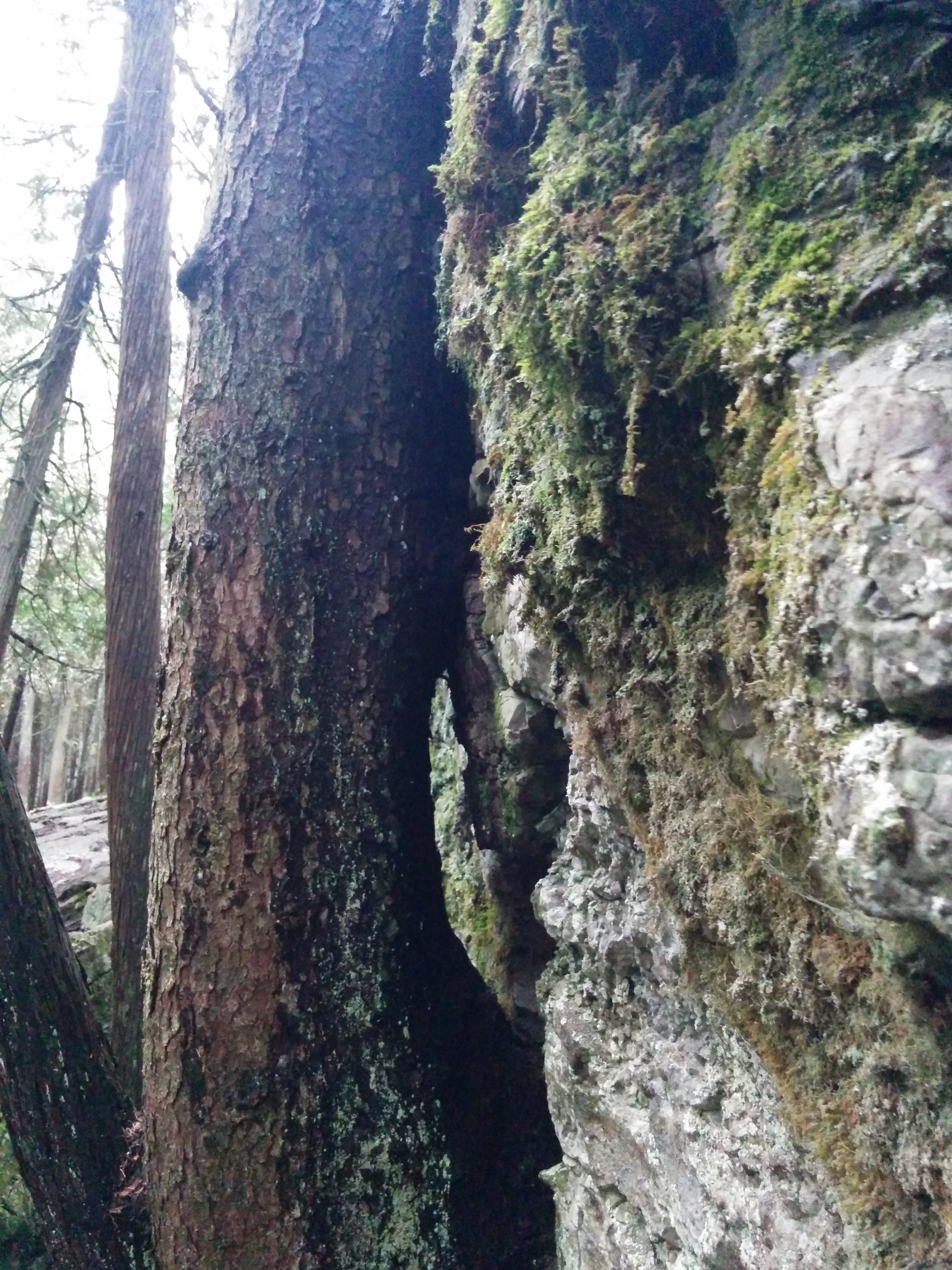
From experiencing the natural wonders of the Niagara Escarpment to learning more about the cultural heritage of its past, Limehouse Conservation Area offers a unique experience for adventurers. At its heart lies a geological area known as the “Hole in the Wall”, where ladders cut through fissures in the escarpment rock. 

There are 5 trails of moderate difficulty: Kiln Trail (0.05 km), CVC Trail (0.9 km), Bruce Trail (1.9 km), Black Creek Side Trail (1.5 km) and the Access Trail (0.2 km). 

What we did:

We stayed on the Bruce Trail (take at a left when you reach the fork at the beginning of the trail) and made it to the "Hole in the Wall," bridge as well as the Lime Kilns and Mills Ruins. 

The "Hole in the Wall" was an unexpected pleasant surprise for us. We didn't realize how much fun it was would be to climb down the ladder into the fissure and climb around. You can spend a chuck of time exploring the area and seeing where each fissure leads you. 

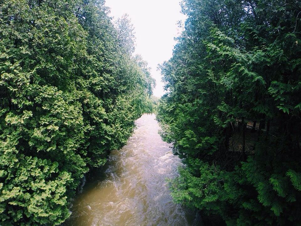
Continuing past the fissure on the Bruce Trail, you'll reach the river where you can cross the bridge over Black Creek. It's definitely a photo-worthy bridge. But be careful when you cross it! 

On the other side of the bridge, continue on the trail and you'll find the Lime Kilns and Mills Ruin. 

NOTES:

  • Location: 12169 Fifth Line, Limehouse L0P 1H0
  • Entrance fee: There's a donation box at the main entrance. 
  • Dogs: Dogs are allow, but must be leashed. 
  • Time: We spent about 2 hours here, mostly exploring the "Hole in the Wall."

Happy Adventuring! 

Rattray Marsh Conservation Area in Mississauga

For all you nature lovers who are looking for a quick escape from the busy city life, Rattray Marsh Conservation Area is a great spot for a short hike. Located in Mississauga, the lakefront wetland offers a unique experience to see various birds, small critters, numerous trees species and plants. This is a pretty neat place to visit since it’s the last remaining lakefront marsh between Toronto and Burlington. 

There are several trails and boardwalks added as part of Rattray Marsh’s design to preserve and keep the natural area undisturbed. Within the Conservation Area, there are three trails: Knoll Trail (0.3 km), Secondary Trail (1.8 km) and Pedestrian Trail (1.1 km). The trails are pretty easy, so it shouldn't take too long to finish. 

One of the trails will take you by the Lake Ontario’s shoreline where you can catch a view of Toronto out in the distance. If you continue down the shoreline, you can see the marsh up close, which is pretty neat. Go and see what wildlife you can spot! 

NOTES:

  • Location: There are two points of access - You can either park and walk in at 1180 Lakeshore Road West or walk in from 50 Bexhill Road. 
  • Hours of Operation: Opens after sunrise and closes before sunset daily.
  • Admission Fee: There’s a donation box at the main kiosk of Bexhill entrance.
  • Dogs Allowed: If you bring a canine companion, make sure they are leashed.
  • Not Permitted: Please note that there’s no cycling here or fishing permitted here.

Happy Adventuring! 

Upper, Middle and Lower Sydenham Falls in Hamilton

Up for short hike? You can see Upper, Middle and Lower Sydenham Falls in 30 minutes!

Let's Get Started

Park at Cascades Park and head up the gravel path. From the bridge, you can see Lower Sydenham Falls here. Don't fully cross the bridge, and head back to the left side of the stream. Head up the trail from here. 

Follow the trail

Check out the bridge before continuing the trail to the left

Lower Sydenham Falls

Lower Sydenham Falls

Keep left at the fork 

About half up, you'll see a small path on your right side that leads downhill. If you choose to, you can take this path down to Middle Sydenham Falls. 

Middle Sydenham Falls

Go back up to continue on the trail. You'll see a small set of stairs. At the top, take a right and continue on the trail. The trail will take you by the stream. Keep following it and you'll reach Upper Sydenham Falls

Upper Sydenham Falls from the base

Notes:

  • You can park on Livingstone Drive beside Cascades Park for free.
  • This hike takes only 30 minutes round-trip. 
  • Take a stroll across the bridge to the other side, the graffiti is actually kind of cool.

Happy Adventuring!

Elora Quarry and Elora Gorge Conservation Area

Elora Quarry Conservation Area

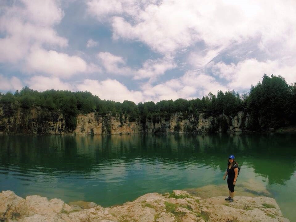
Peering over the fence at the top of the parking lot, the bluish green quarry offers a stunning view. Encircled by sheer cliffs up to 12 metres high, a large beach area with easy access to the water and a sandy area perfect for sunbathers, this swimming hole is ideal for a hot summer day. Unfortunately, due to insurance regulations, you cannot jump or dive from the cliffs. The beach is also not patrolled, so make sure you keep a close watch on children at all times. 

Head down the the quarry by following the road path and trail. This short walk will take you straight to the beach. If you're feeling adventurous, feel free to hike and explore around the quarry. 

Bring a cooler, towel and swim suit for a day swimming at the quarry!

Elora Gorge Conservation Area

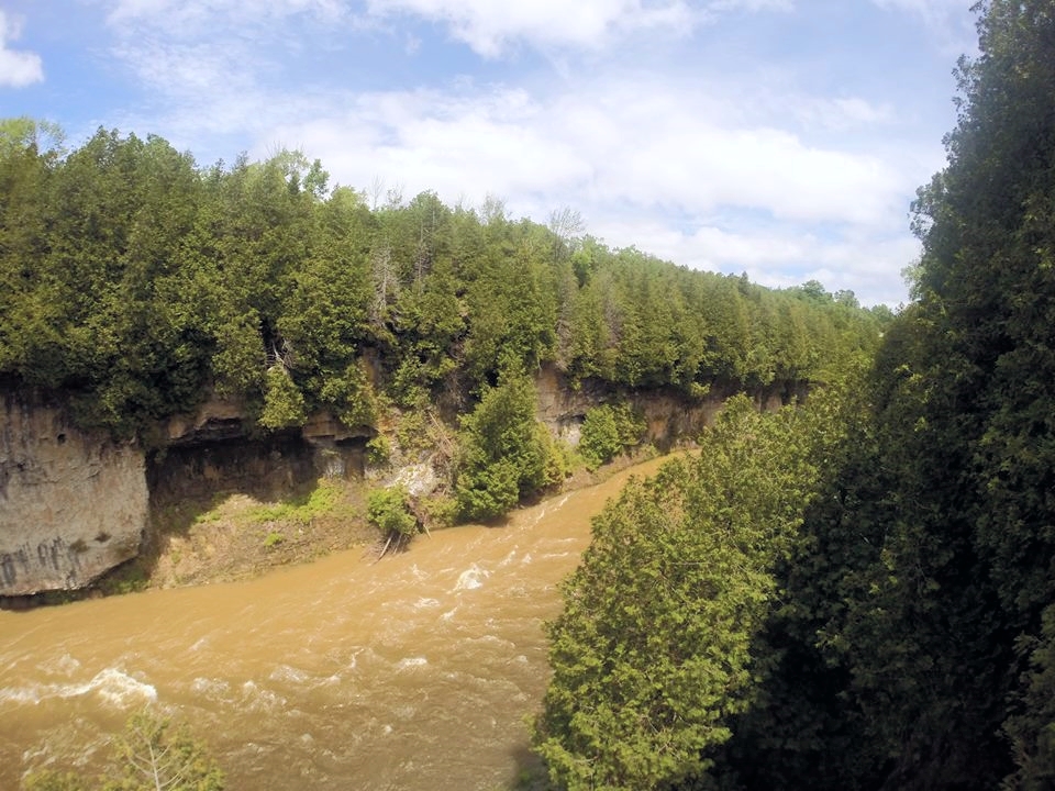
As a popular tourist attraction, Elora Gorge is one of the most beautiful and spectacular natural areas in the Grand River valley. With 22 metre high cliffs, riverside trails and scenic lookouts to the gorge, this park provides hikers with gorgeous views of the water below where kayakers and tubers make their way through the rapids.  

From the parking lot, we headed to the trail. If you head right, you'll reach a lookout on top of the gorge and then a dead end. If you head left, you'll reach two lookouts to see the gorge from the bottom. We kept following the trail until we reached the bridge to see the other side of the river before heading back.  

Along the way, please note that there are tons of warning signs throughout the conservation area regarding safety. Make sure you stay away from the edge of the gorge. 

Mickey's Grill and Ice Cream Parlour

If you're craving a cold treat, head to Mickey's Grill and Ice Cream Parlour in the town. There are so many flavours of ice cream and they have treats for your dog! 

Notes:

  • Entrance fee: $6/person. You only have to pay it once if you want to visit both parks. 
  • Elora is located about 25km from Guelph, Ontario through Highway 6
  • No dogs, diving or jumping allowed at Elora Quarry Conservation Area. There are washrooms and change rooms available at the park. You can also rent a life jacket.
  • Elora Gorge Conservation Area offers tubing if conditions are good. It also offers camping, canoeing, fishing, cycling, picnicking and a splash pad. 

Happy Adventuring! 

A Day at Scarborough Bluffs

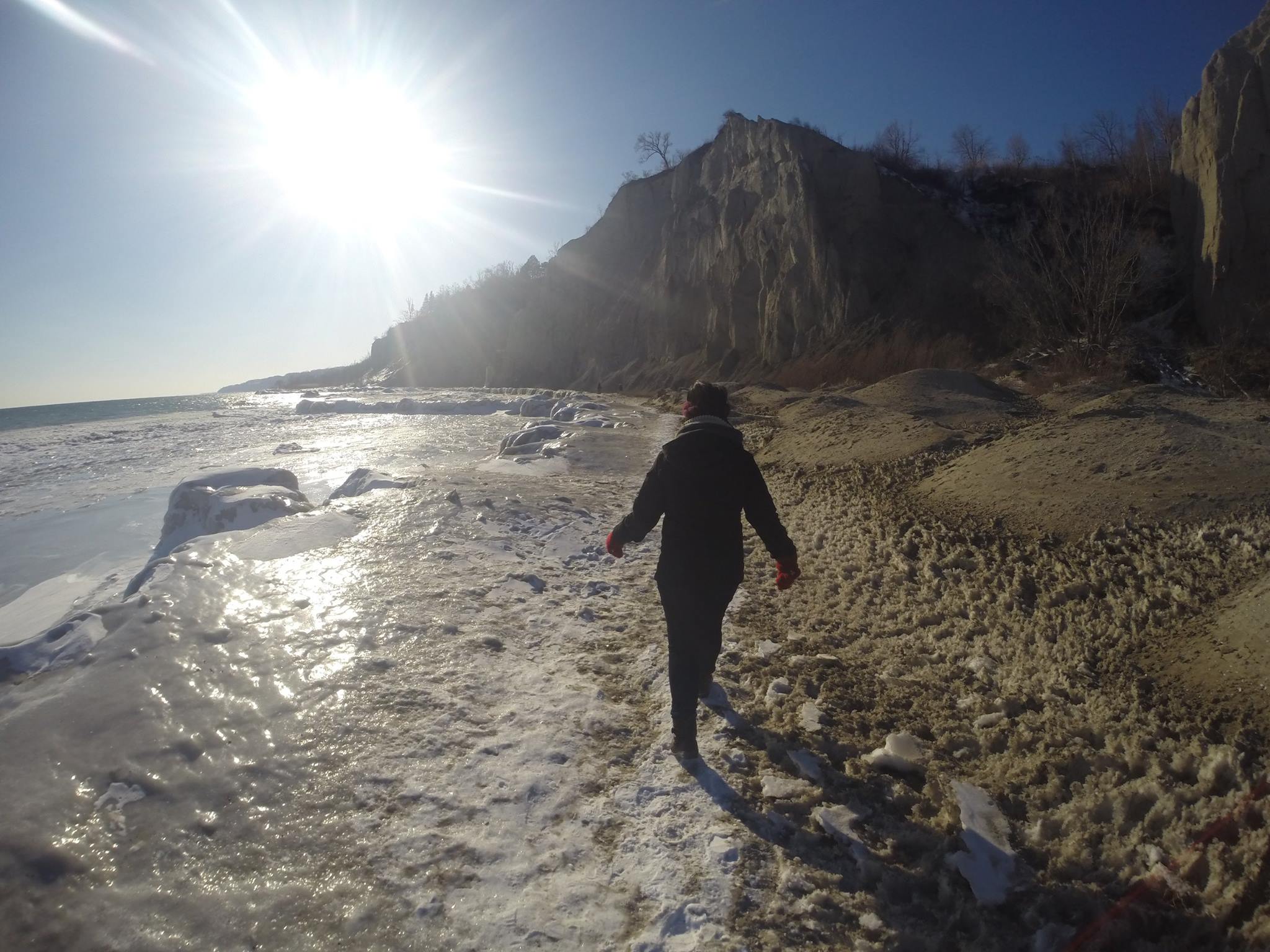
For spectacular views of the escarpment and Lake Ontario, Scarborough Bluffs are a significant geological feature in North America. These towering white cliffs stretch 15 kilometres along Toronto's Eastern waterfront. At their highest, the bluffs rise 65 metres above the coastline, offering an impressive view. The bluffs are a fantastic place to visit if you're looking for a nice day out with your family, friends or canine companion. 

Let's Get Started! 

Located in East Toronto, Scarborough Bluffs can be found at the foot of Brimley Road. For a gorgeous view overlooking Lake Ontario, drive up to the top of the Bluffs and park the side of the road. 

From the parking lot at the bottom of the Bluffs, you can take the walking trail that takes you through the park and some of the naturalized areas between the cliffs and the park. 

If you're heading there during the summer months, head to Bluffer's Beach - the most beautiful beach in Toronto. Let the sun shine and wind blow in your hair as you dip your toes in the water. Don't worry, the water quality is better than the other beaches in Toronto. 

Notes:

  • With the erosion of bluffs at 1 metre per year, keep in mind that the ground can be unstable.
  • The park also offers trails, beaches, gardens, sports and recreation facilities and amenities.
  • Head there in the winter to see the frozen shoreline! 

Happy Adventuring! 

A Taste of Mars: Cheltenham Badlands In Caledon

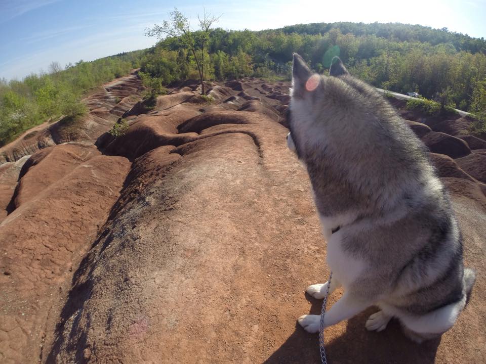
For its reddish hue, rolling hills with streaks of greyish-green and leafy trees surrounding the area, the Cheltenham Badlands offer an incredible view in Ontario. Composed of iron-rich Queenston Shale, the unique red landscape was created due to poor farming practices in the 1930's which caused overgrazing of the land. The exposed bedrock eroded into a series of striking ridges and gullies. Because the rock is so sensitive, it erodes easily, creating those rolling, red dunes that look like you're on Mars. As one of the best examples of "badlands topography" in Ontario, the Cheltenham Badlands are a geological treasure!

Let's get started!

Off Hwy 10, turn onto Old Baseline Road and head down until you reach the badlands. There's a small parking lot off the side of the road.

Notes:

  • The term "badlands" refers to land that is highly eroded, barren and dry. 
  • The area is very fragile, so don't climb on the hills when the ground appears soft. 
  • Be sure to check it out before it's temporarily closed. A protective fence will be placed along Olde Baseline Road at the end of May 2015.
  • Update: Public access to the badlands is only available at the viewing area at the top of the badlands slope. 

Warsaw Caves in Peterborough

Warsaw Caves Conservation Area and Campground is home to a group of underground caves that were "formed thousands of years ago at the end of the last ice age by rushing melt water." Most of the caves have long passages with small open areas, which are perfect for spelunkers. 

Let's get started! 

From the parking lot, take a short walk towards the trail. Along the trail, you'll come across seven caves you can climb and explore. Just remember to bring a flashlight or headlamp before delving into these caverns. 

There's also a hike to the lookout and kettles! 

Notes:

  • Parking is $12/car for the day. 
  • There are 15km of hiking trails that will take you through the forest and across the limestone plain. 
  • Spend the day canoeing on the calm Indian River. Canoe rentals is $11 for 2 hours. 
  • The Conservation Area also offers camping, swimming and fishing

Happy Adventuring!